Loading...
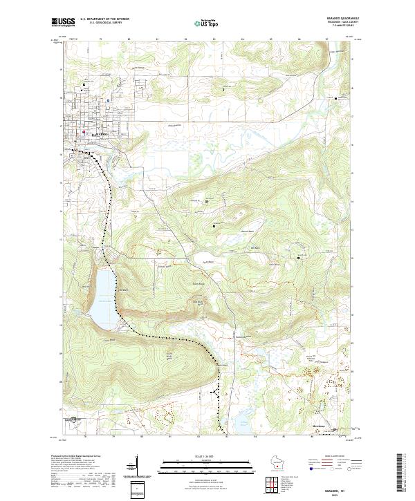
Loading map...2022 Map of Baraboo
USGS Topo · Published 2022About this map
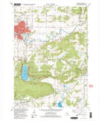
Baraboo serves as the regional hub for this part of Sauk County, dominated by the dramatic topography of the North Range and South Range. The landscape is defined by the deep basin of Devils Lake, flanked by the prominent West Bluff, East Bluff, and South Bluff. A series of basins and meadowlands, such as Hanson Basin, Feltz Basin, and Roznos Meadow, reveal the complex drainage patterns feeding into Manley Creek and the Baraboo River.
Find a feature on this map
45 named features on this map. Tap any name to fly to it.
Don’t see what you’re looking for? This feature index may not catch every label — zoom into the map to look around manually.
Map Details
Date Portrayed2022
Date Published2022
PublisherU.S. Geological Survey
Map TypeTopographic
Scale1:24000
Physical Dimensions24 x 29 inches
Editions of this 2022 Baraboo Map
This is the sole edition of this map. No revisions or reprints were ever made.
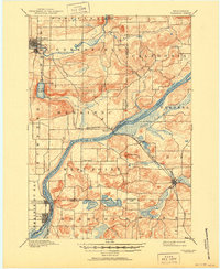
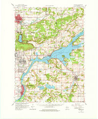
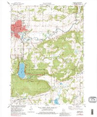
Historical Maps of Merrimac Through Time
6 maps found

Featured Locations
Source Details
SourceU.S. Geological Survey
CopyrightPublic Domain