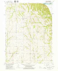
1966 Map of Barada
USGS Topo · Published 1979About this map
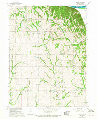
Barada sits as a quiet central point in this mid-1960s landscape, where the rolling hills of southeast Nebraska meet the bends of the Missouri River. The map detail reflects a deeply established rural community, organized around early townships like Barada, Ohio, and Arago. The placement of numerous family-named schools and churches, including Arago Center School and St Anns Ch, indicates a high density of small-scale neighborhood centers that historically anchored the farming families in the region.
Find a feature on this map
37 named features on this map. Tap any name to fly to it.
Don’t see what you’re looking for? This feature index may not catch every label — zoom into the map to look around manually.
Map Details
Editions of this 1966 Barada Map
2 editions found
Other maps of this area

1915 · Falls City
USGS Topo · 1:62,500

1915 · Nemaha
USGS Topo · 1:62,500

1920 · Craig
USGS Topo · 1:62,500

1936 · Fairfax
USGS Topo · 1:24,000

1939 · Tarkio
USGS Topo · 1:62,500

1939 · Nemaha
USGS Topo · 1:62,500

1940 · Tarkio
USGS Topo · 1:62,500

1941 · Tarkio
USGS Topo · 1:62,500

1949 · Nemaha
USGS Topo · 1:62,500

1955 · Nebraska City
USGS Topo · 1:250,000