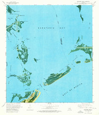
1973 Map of Barataria Pass
USGS Topo · Published 1976About this map
Ft Livingston Ruins stand at the entrance to Barataria Pass, marking a landscape of barrier islands and industrial maritime activity in the early 1970s. This orthophotomap combines aerial photography with topographic data to illustrate the intricate waterways of Barataria Bay and its connection to the Gulf of Mexico. The eastern end of Grand Isle is highly developed, featuring the Grand Isle State Park (East End), a Coast Guard Station, and a network of canals along Bayou Rigaud. Further north, the Queen Bess Island Oil and Gas Field indicates the region's energy production, with numerous platforms and lights dotting Bay Mendicant and Bay Quatre. The map captures the fragile nature of the Louisiana coastline, documenting an indefinite boundary between Jefferson and Plaquemines Parishes amidst shifting sands and eroding marshlands.
Find a feature on this map
42 named features on this map. Tap any name to fly to it.
Don’t see what you’re looking for? This feature index may not catch every label — zoom into the map to look around manually.
Map Details
Editions of this 1973 Barataria Pass Map
2 editions found
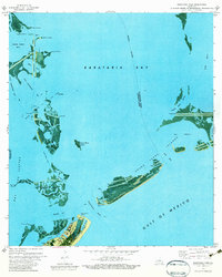
Other maps of this area

1892 · Cheniere Caminada
USGS Topo · 1:62,500

1892 · Creole
USGS Topo · 1:62,500

1893 · Fort Livingston
USGS Topo · 1:62,500

1935 · Bay Ronquille
USGS Topo · 1:31,680

1935 · Wilkinson Bay
USGS Topo · 1:31,680

1945 · New Orleans
USGS Topo · 1:250,000

1947 · Caminada Pass
USGS Topo · 1:31,680

1947 · Bay Ronquille
USGS Topo · 1:31,680
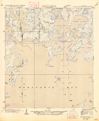
1947 · Wilkinson Bay
USGS Topo · 1:31,680
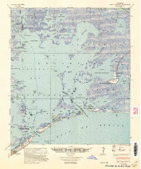
1948 · Fort Livingston
USGS Topo · 1:62,500