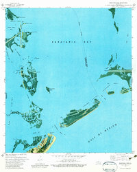
1973 Map of Barataria Pass
USGS Topo · Published 1984About this map
Ft Livingston Ruins stand as a silent sentinel at the entrance to Barataria Pass, marking the precarious intersection of historical coastal defense and the shifting barrier islands of the Gulf. This early 1970s orthophotomap details the eastern tip of Grand Isle, where the Coast Guard Station and the recently established Grand Isle State Park (East End) represent the modern human footprint against an environment dominated by marsh and tide. The landscape is defined by its complex hydrology, with Bayou Rigaud and Bayou Fifi providing essential channels for the local maritime economy.
Find a feature on this map
42 named features on this map. Tap any name to fly to it.
Don’t see what you’re looking for? This feature index may not catch every label — zoom into the map to look around manually.
Map Details
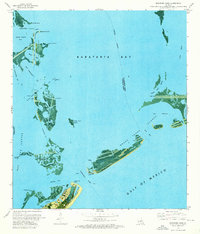
Editions of this 1973 Barataria Pass Map
2 editions found
Other maps of this area

1892 · Cheniere Caminada
USGS Topo · 1:62,500

1892 · Creole
USGS Topo · 1:62,500

1893 · Fort Livingston
USGS Topo · 1:62,500

1935 · Bay Ronquille
USGS Topo · 1:31,680

1935 · Wilkinson Bay
USGS Topo · 1:31,680

1945 · New Orleans
USGS Topo · 1:250,000

1947 · Caminada Pass
USGS Topo · 1:31,680

1947 · Bay Ronquille
USGS Topo · 1:31,680
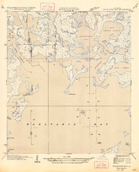
1947 · Wilkinson Bay
USGS Topo · 1:31,680
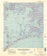
1948 · Fort Livingston
USGS Topo · 1:62,500