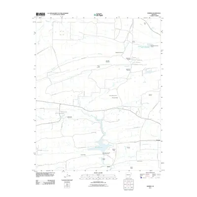
2011 Map of Barber
USGS Topo · Published 2011About this map
Booneville Lake anchors the southern portion of this landscape, a significant water body created by the Upper Petit Jean Site Number Nine Dam along Washburn Creek. The terrain is defined by a series of prominent ridges and geological formations, including Pinnacle Mountain, Blythe Ridge, and the distinct gaps known as Backbone Narrows and Rattlesnake Narrows. Small rural settlements like Washburn, Barber, and Glendale are connected by a network of gravel and paved roads that trace the valley floors.
Find a feature on this map
67 named features on this map. Tap any name to fly to it.
Don’t see what you’re looking for? This feature index may not catch every label — zoom into the map to look around manually.
Map Details
Editions of this 2011 Barber Map
This is the sole edition of this map. No revisions or reprints were ever made.
Other maps of this area

1887 · Magazine Mountain #2
USGS Topo · 1:62,500

1887 · Magazine Mountain #3
USGS Topo · 1:62,500

1887 · Magazine Mountain
USGS Topo · 1:62,500

1890 · Magazine Mountain
USGS Topo · 1:125,000

1890 · Fort Smith
USGS Topo · 1:125,000

1906 · Lavaca
USGS Topo · 1:62,500

1906 · Barber
USGS Topo · 1:62,500

1934 · Booneville
USGS Topo · 1:48,000

1939 · Booneville
USGS Topo · 1:62,500

1943 · Fort Smith
USGS Topo · 1:125,000