
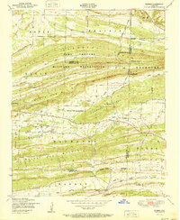
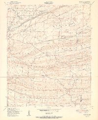
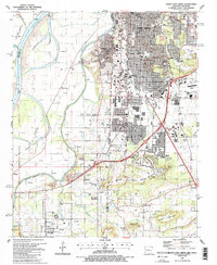
1951 Map of Barber
USGS Topo · Published 1951About this map
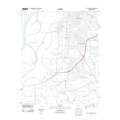
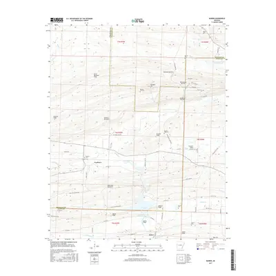
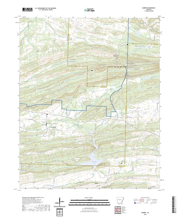
The Camp Chaffee Military Reservation dominates the northern half of this landscape, spanning the rugged ridges between Bates Prairie and the White Oak Mountains. At the southern edge of the reservation, the Chicago Rock Island and Pacific railroad tracks follow the valley through Barber, passing family landmarks like Antioch Cemetery and Mahrulls Cemetery. The terrain is defined by a series of parallel ridges, including Backbone Mountain and Pleasant Ridge, which are pierced by distinct gaps such as Backbone Narrows and Bradshaw Narrows. These narrow passes historically dictated the movement of travel and water, specifically Washburn Creek and Pigeon Creek, as they cut through the east-west upland barriers. This 1951 edition shows the intersection of military training grounds and established rural life, evidenced by the many small cemeteries and church roads like Lone Star Church Road that remain just outside the military boundary.
Find a feature on this map
39 named features on this map. Tap any name to fly to it.
Don’t see what you’re looking for? This feature index may not catch every label — zoom into the map to look around manually.
Map Details
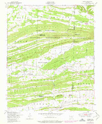
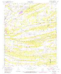
Editions of this 1951 Barber Map
2 editions found
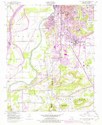
Historical Maps of Glendale Through Time
27 maps found

1906 Barber
Sebastian County, AR

1947 Barber
Sebastian County, AR
1947 Barber
Sebastian County, AR
1947 Burnville
Sebastian County, AR
1948 South Fort Smith
Sebastian County, AR
1951 Barber
Sebastian County, AR
1951 Burnville
Sebastian County, AR
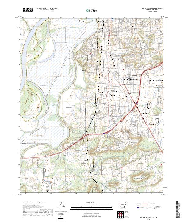
1951 South Fort Smith
Sebastian County, AR
1987 Barber
Sebastian County, AR
1987 Burnville
Sebastian County, AR
1987 South Fort Smith
Sebastian County, AR
1997 Barber
Sebastian County, AR
2011 Barber
Sebastian County, AR
2011 Burnville
Sebastian County, AR
2011 South Fort Smith
Sebastian County, AR
2014 Barber
Sebastian County, AR
2014 Burnville
Sebastian County, AR
2014 South Fort Smith
Sebastian County, AR
2017 Barber
Sebastian County, AR
2017 Burnville
Sebastian County, AR
2017 South Fort Smith
Sebastian County, AR
2020 Barber
Sebastian County, AR
2020 Burnville
Sebastian County, AR
2020 South Fort Smith
Sebastian County, AR
2024 Barber
Sebastian County, AR
2024 Burnville
Sebastian County, AR
2024 South Fort Smith
Sebastian County, AR