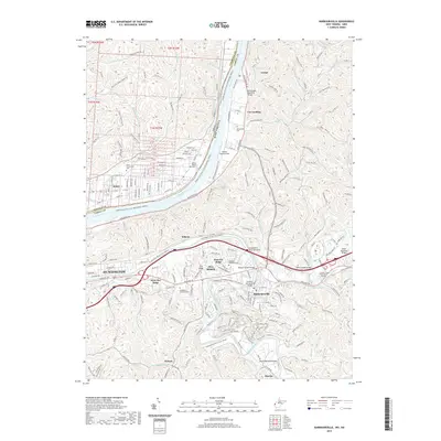
2019 Map of Barboursville
USGS Topo · Published 2019About this map
The Ohio River corridor north of Huntington defines this 2019 survey, where the river serves as both a natural border and a focal point for settlement and infrastructure. Along the West Virginia bank, residential clusters like Lesage, Cox Landing, and Barboursville are linked by the Ohio River Rd. Across the water in Ohio, the community of Rome sits near the Rome-Proctorville Cem. The map illustrates a landscape transitioned into suburban and recreational use, featuring the Guyandotte Water Trail and the YMCA Kennedy Center Trail.
Find a feature on this map
232 named features on this map. Tap any name to fly to it.
Don’t see what you’re looking for? This feature index may not catch every label — zoom into the map to look around manually.
Map Details
Editions of this 2019 Barboursville Map
This is the sole edition of this map. No revisions or reprints were ever made.
Other maps of this area

1892 · Huntington
USGS Topo · 1:125,000

1898 · Huntington
USGS Topo · 1:125,000

1901 · Guyandot
USGS Topo · 1:62,500

1902 · Guyandot
USGS Topo · 1:62,500

1902 · Milton
USGS Topo · 1:62,500

1906 · Athalia
USGS Topo · 1:62,500

1906 · Glenwood
USGS Topo · 1:62,500

1908 · Athalia
USGS Topo · 1:62,500

1908 · Glenwood
USGS Topo · 1:62,500

1931 · Milton
USGS Topo · 1:62,500