
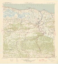
1946 Map of Barceloneta
USGS Topo · Published 1946About this map
Industrial sugar processing dominates the mid-century landscape of the northern coast, anchored by the Central Plazuela and Central Monserrate mills. These centers are linked to the wider island economy via the American Railroad of Puerto Rico, which skirts the edge of the expansive Caño Tiburones wetlands. Near the mouth of the Río Grande de Manatí, the town of Barceloneta serves as a local hub, surrounded by smaller barrios such as Palmas Altas and Tierras Nuevas Poniente.
Find a feature on this map
49 named features on this map. Tap any name to fly to it.
Don’t see what you’re looking for? This feature index may not catch every label — zoom into the map to look around manually.
Map Details
Editions of this 1946 Barceloneta Map
3 editions found
Other maps of this area

1942 · Manati
USGS Topo · 1:30,000

1942 · Arecibo
USGS Topo · 1:30,000

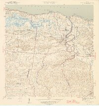
1942 · Barceloneta
USGS Topo · 1:30,000

1943 · Utuado NE
USGS Topo · 1:10,000

1946 · Utuado
USGS Topo · 1:30,000

1946 · Ciales
USGS Topo · 1:30,000

1946 · Arecibo
USGS Topo · 1:30,000

1946 · Florida
USGS Topo · 1:30,000

1946 · Manati
USGS Topo · 1:30,000
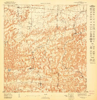
1947 · Barceloneta SO
USGS Topo · 1:10,000