
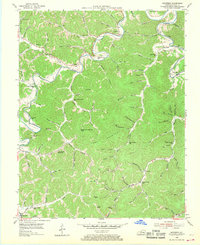
1954 Map of Barcreek
USGS Topo · Published 1955About this map
Goose Creek and the Red Bird River carve through the heavily dissected uplands of Clay County, defining a landscape where life followed the narrow valley floors. Small agricultural pockets and rural post offices like Hensley, Barcreek, and Tanksley appear linked by winding roads that track the watercourses. The presence of numerous neighborhood institutions, including the Antepast Sch, Wild Cat Sch, and Lower Laurel Sch, reflects a decentralized community structure typical of mid-century Appalachia before widespread school consolidation.
Find a feature on this map
97 named features on this map. Tap any name to fly to it.
Don’t see what you’re looking for? This feature index may not catch every label — zoom into the map to look around manually.
Map Details
Editions of this 1954 Barcreek Map
2 editions found
Other maps of this area

1891 · Manchester
USGS Topo · 1:125,000

1952 · Hima
USGS Topo · 1:24,000

1952 · Manchester
USGS Topo · 1:24,000

1953 · Oneida
USGS Topo · 1:24,000

1953 · Big Creek
USGS Topo · 1:24,000

1953 · Mistletoe
USGS Topo · 1:24,000

1954 · Maulden
USGS Topo · 1:24,000
1954 · Ogle
USGS Topo · 1:24,000
1954 · Creekville
USGS Topo · 1:24,000

1957 · Jenkins
USGS Topo · 1:250,000