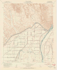
1952 Map of Bard
USGS Topo · Published 1954About this map
The Colorado River and Gila River converge in this mid-century survey, defining the borderlands between California and Arizona. The landscape is a stark study in desert engineering, dominated by the massive All American Canal and the intricate grid of the Reservation Main Canal feeding the agricultural tracts of the Yuma Indian Reservation. Small farming hubs like Bard and Ross Corner anchor a rigid network of numbered roads, from 4th Street to 11th Street, while the northern horizon is occupied by the dry reaches of the Chocolate Mountains.
Find a feature on this map
32 named features on this map. Tap any name to fly to it.
Don’t see what you’re looking for? This feature index may not catch every label — zoom into the map to look around manually.
Map Details
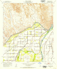
Editions of this 1952 Bard Map
2 editions found
Other maps of this area

1903 · Yuma
USGS Topo · 1:125,000

1905 · Yuma
USGS Topo · 1:125,000

1926 · Fortuna
USGS Topo · 1:62,500

1929 · Fortuna
USGS Topo · 1:62,500

1929 · Laguna
USGS Topo · 1:62,500

1940 · Yuma
USGS Topo · 1:62,500

1942 · Yuma
USGS Topo · 1:250,000

1943 · Laguna
USGS Topo · 1:62,500

1945 · Picacho Peak
USGS Topo · 1:62,500

1945 · Yuma
USGS Topo · 1:62,500