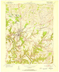
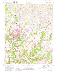
1967 Map of Bardstown
USGS Topo · Published 1969About this map
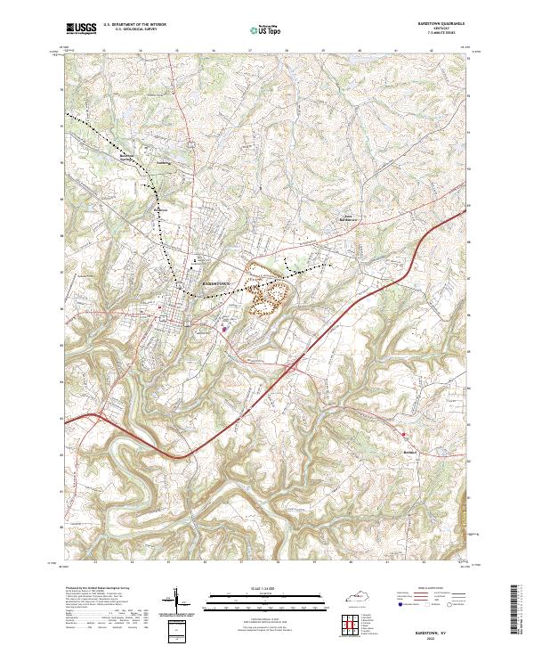
Bardstown serves as the focal point of this late-1960s survey, showing the town at a significant intersection of heritage and modernization. The map captures the historic character of the area through landmarks like My Old Kentucky Home State Park Bdy and the Courthouse, while also documenting the mid-century expansion of the Blue Grass Parkway. Educational and religious institutions are particularly dense here, ranging from the sprawling Nazareth College and Academy north of town to the central St Josephs Preparatory Sch and Bethlehem High Sch. To the south and east, the landscape transitions into the winding drainage of Beech Fork and Cane Run, where smaller settlements like Botland and Quirks sit among family-named routes such as Burba Road and Sutcliffe Road. This record is essential for tracing the evolution of Nelson County’s distillery-rich landscape and academic heritage.
Find a feature on this map
58 named features on this map. Tap any name to fly to it.
Don’t see what you’re looking for? This feature index may not catch every label — zoom into the map to look around manually.
Map Details
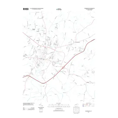
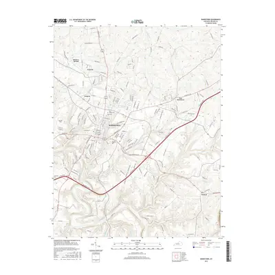
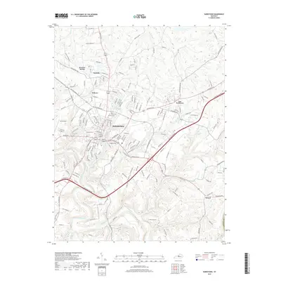
Editions of this 1967 Bardstown Map
3 editions found
Historical Maps of Bardstown Through Time
7 maps found