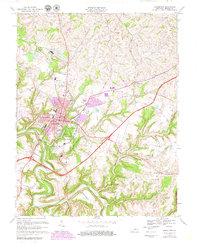
1967 Map of Bardstown
USGS Topo · Published 1979About this map
The county seat of Nelson County is the focal point of this survey, where the historic core around the Courthouse and City Hall meets mid-century expansion. The landscape is defined by the winding course of the Beech Fork and the institutional presence of religious and educational centers like Nazareth College and Academy, St Joseph Preparatory Sch, and Bethlehem High Sch. The intersection of tradition and modernization is evident in the purple-shaded urban growth reaching toward My Old Kentucky Home State Park, while the surrounding countryside maintains its agricultural character.
Find a feature on this map
53 named features on this map. Tap any name to fly to it.
Don’t see what you’re looking for? This feature index may not catch every label — zoom into the map to look around manually.
Map Details
Editions of this 1967 Bardstown Map
3 editions found
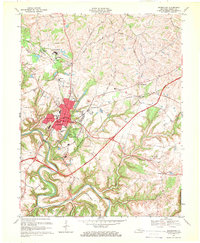

Other maps of this area

1949 · Cravens
USGS Topo · 1:24,000

1949 · Samuels
USGS Topo · 1:24,000

1949 · Shepherdsville
USGS Topo · 1:62,500

1953 · Loretto
USGS Topo · 1:24,000

1953 · Maud
USGS Topo · 1:24,000

1953 · Saint Catharine
USGS Topo · 1:24,000

1953 · Bardstown
USGS Topo · 1:24,000

1953 · New Haven
USGS Topo · 1:24,000

1953 · Bloomfield
USGS Topo · 1:24,000

1953 · Fairfield
USGS Topo · 1:24,000