
1967 Map of Bardstown
USGS Topo · Published 1987About this map
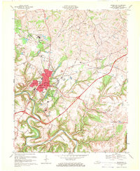
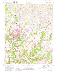
Bardstown and its historic core serve as the anchor for this 1967 Nelson County survey, which shows a landscape balancing its deep institutional history with mid-century transit expansions. The town center is densely detailed, featuring the Courthouse, City Hall, and several prominent educational and religious sites including the Nazareth College and Academy and St Josephs Preparatory Sch. The southern edge of the community is marked by the expansive My Old Kentucky Home State Park, while the northern industrial and transport corridor is defined by the L & N RR and the Blue Grass Parkway toll road.
Find a feature on this map
39 named features on this map. Tap any name to fly to it.
Don’t see what you’re looking for? This feature index may not catch every label — zoom into the map to look around manually.
Map Details
Editions of this 1967 Bardstown Map
3 editions found
Other maps of this area

1949 · Cravens
USGS Topo · 1:24,000

1949 · Samuels
USGS Topo · 1:24,000

1949 · Shepherdsville
USGS Topo · 1:62,500

1953 · Loretto
USGS Topo · 1:24,000

1953 · Maud
USGS Topo · 1:24,000

1953 · Saint Catharine
USGS Topo · 1:24,000

1953 · Bardstown
USGS Topo · 1:24,000

1953 · New Haven
USGS Topo · 1:24,000

1953 · Bloomfield
USGS Topo · 1:24,000

1953 · Fairfield
USGS Topo · 1:24,000