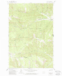
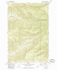
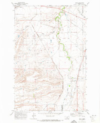
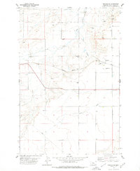
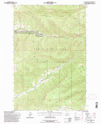
1961 Map of Barker
USGS Topo · Published 1983About this map
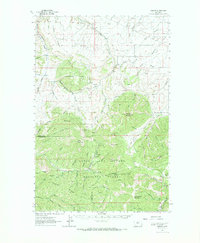
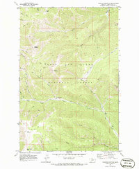
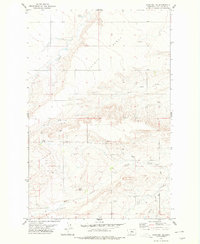
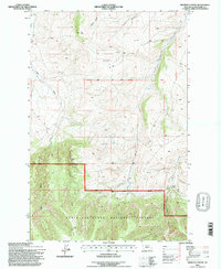
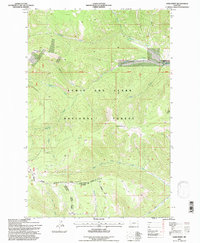
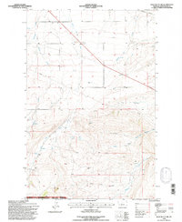
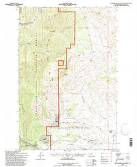
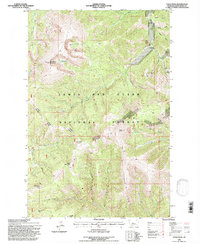
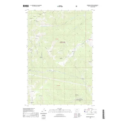
Lewis and Clark National Forest dominates the southern half of this landscape, where steep drainage networks like Dry Fork Belt Creek and Gray Creek cut through the high peaks of the Little Belt Mountains. The early 1960s terrain shows a region defined by its mining and timber history, centered around the small settlements of Barker and Hughesville. These mountain outposts are surrounded by significant summits such as Mixes Baldy, Clendennin Mountain, and Peterson Mountain.
Find a feature on this map
56 named features on this map. Tap any name to fly to it.
Don’t see what you’re looking for? This feature index may not catch every label — zoom into the map to look around manually.
Map Details
Editions of this 1961 Barker Map
2 editions found
Historical Maps of Hughesville Through Time
184 maps found
1961 Barker
Judith Basin County, MT
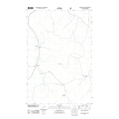
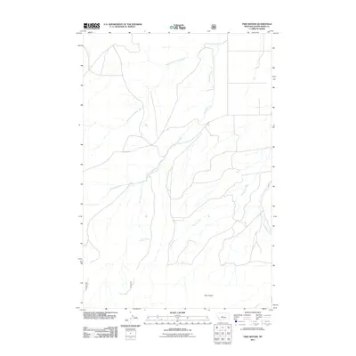
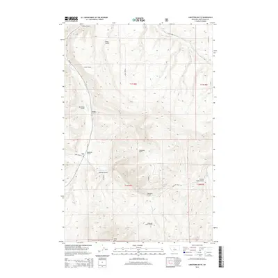
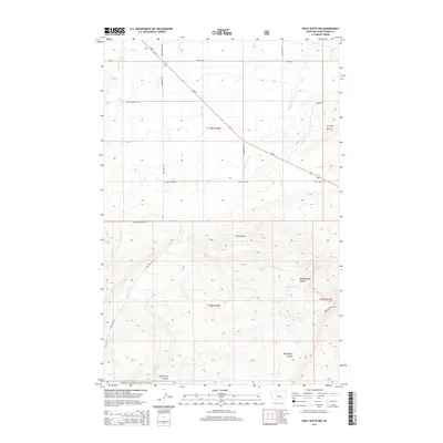
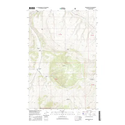
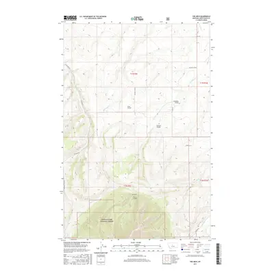
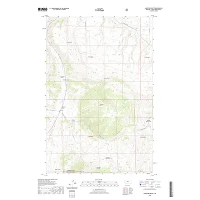
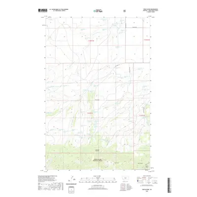
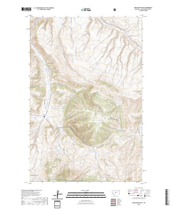
1961 Limestone Butte
Judith Basin County, MT
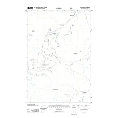
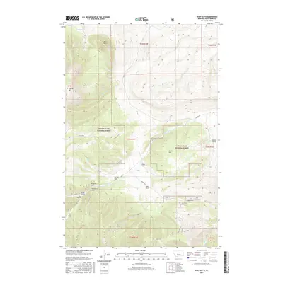
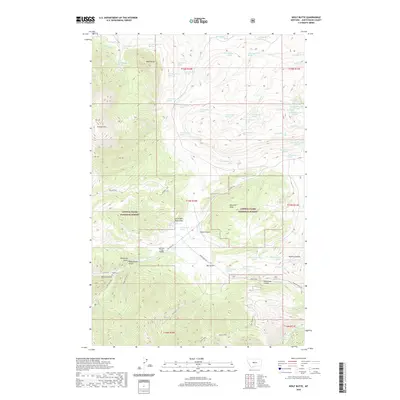
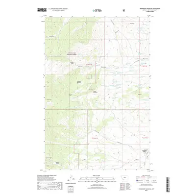
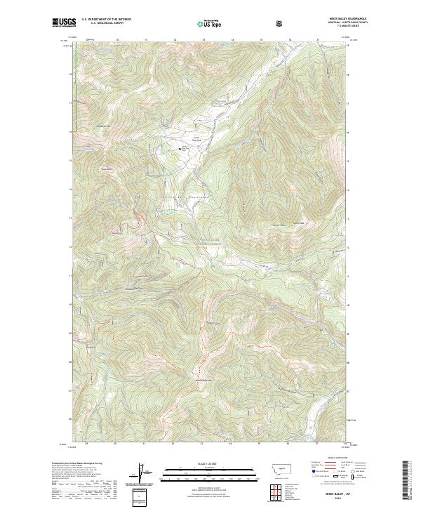
1961 Mixes Baldy
Judith Basin County, MT
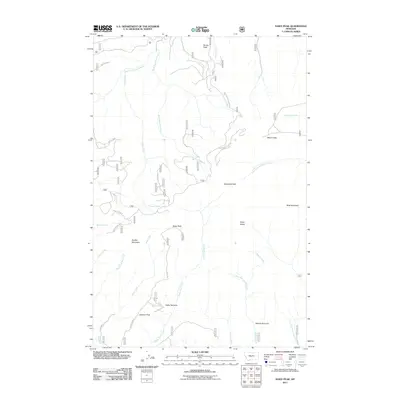
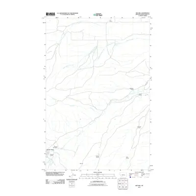
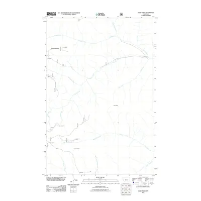
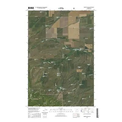
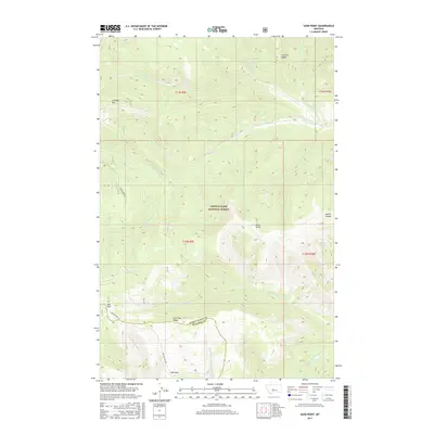
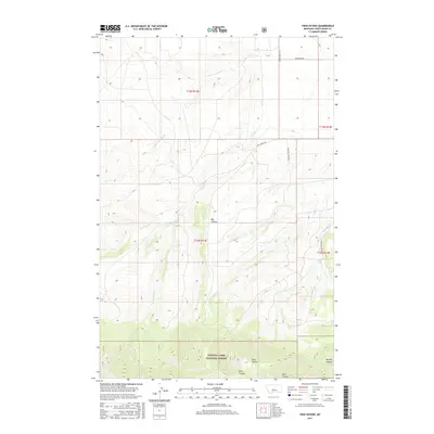
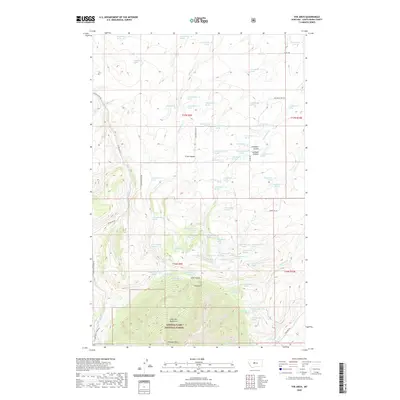
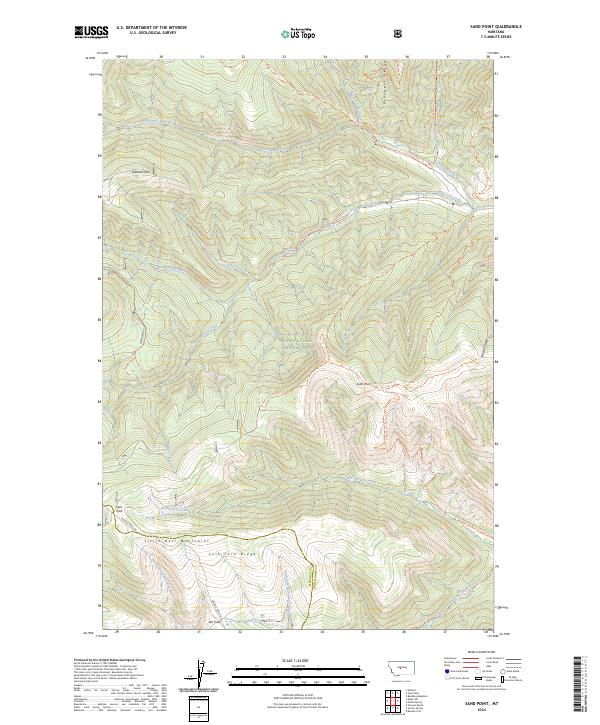
1961 Sand Point
Judith Basin County, MT
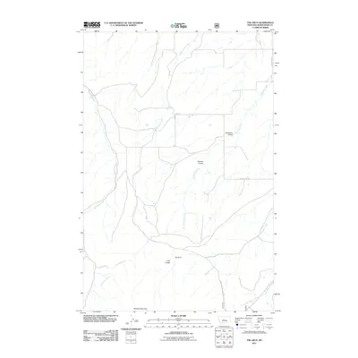
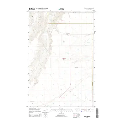
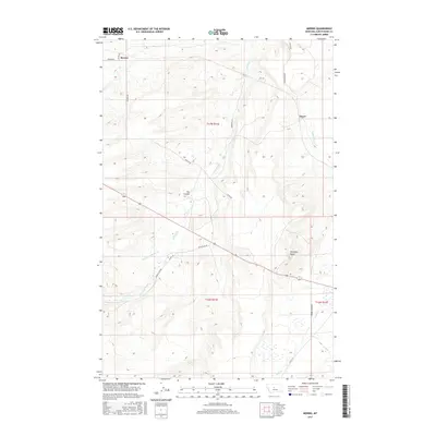
1961 The Arch
Judith Basin County, MT
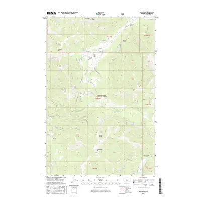
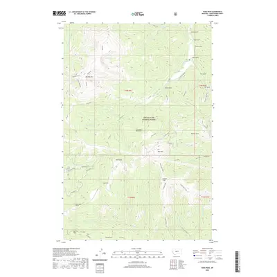
1961 Yogo Peak
Judith Basin County, MT
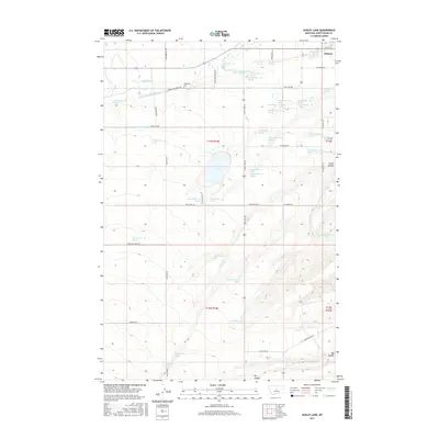
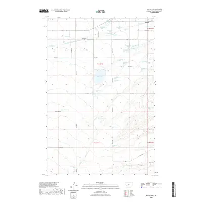
1970 Ackley Lake
Judith Basin County, MT
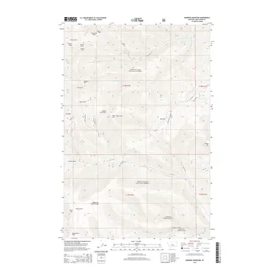
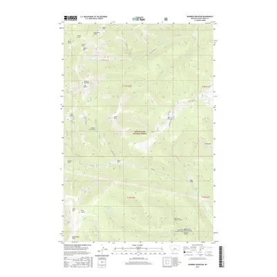
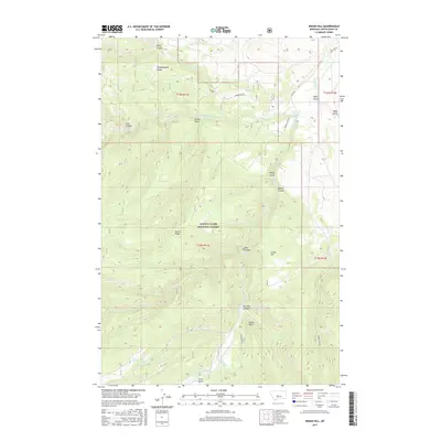
1970 Bandbox Mountain
Judith Basin County, MT
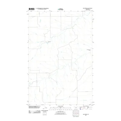
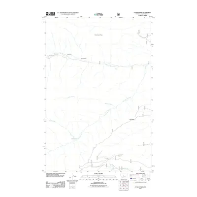
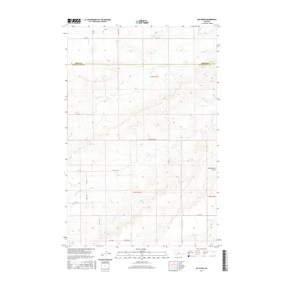
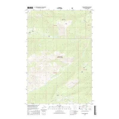
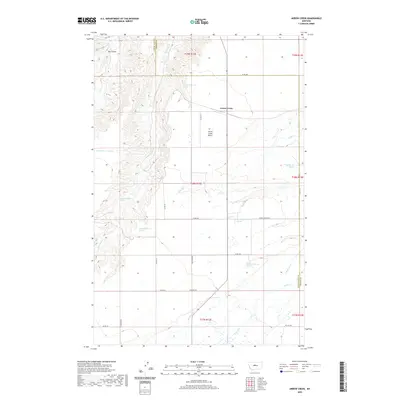
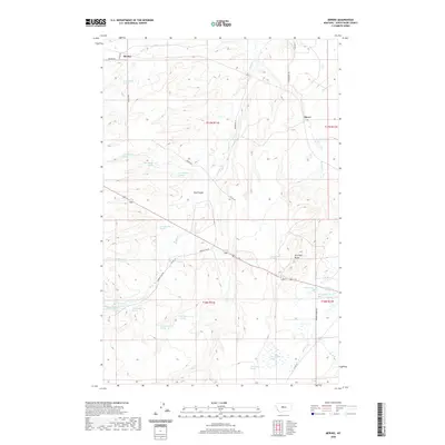
1970 Big Spring
Judith Basin County, MT
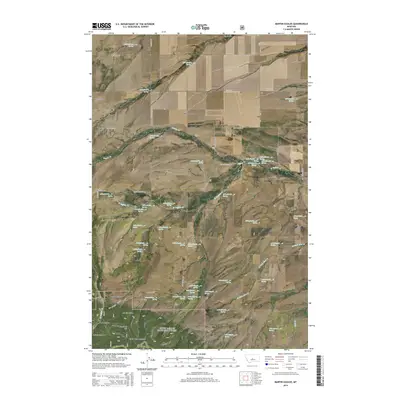
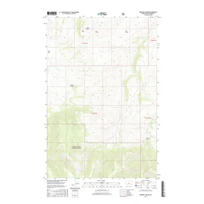
1970 Browns Canyon
Judith Basin County, MT
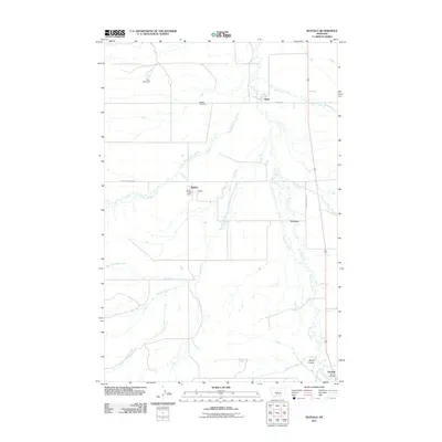
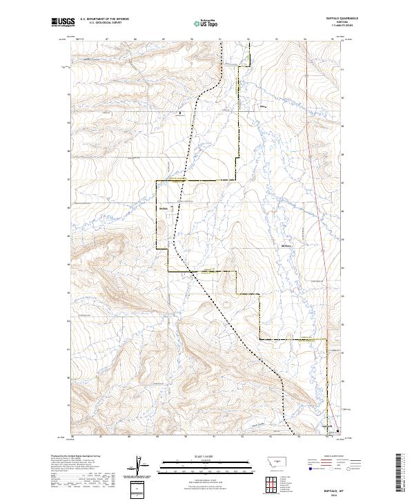
1970 Buffalo
Judith Basin County, MT
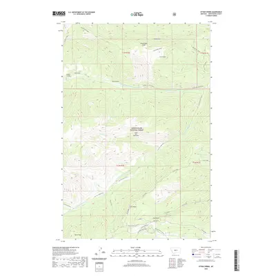
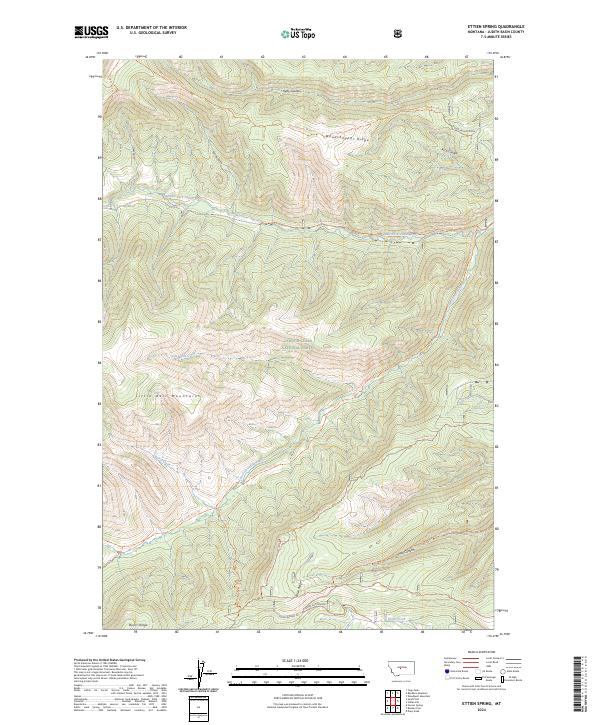
1970 Ettien Spring
Judith Basin County, MT
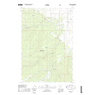
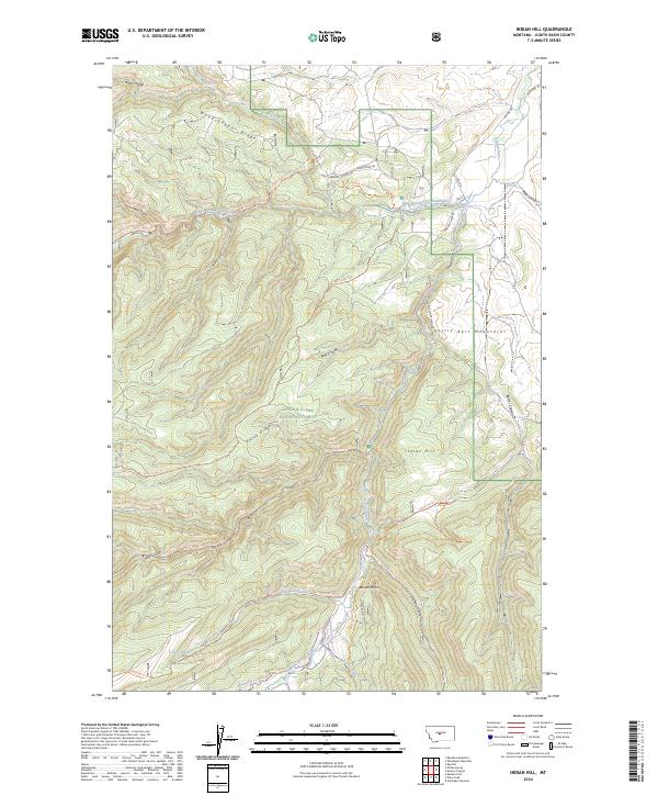
1970 Indian Hill
Judith Basin County, MT
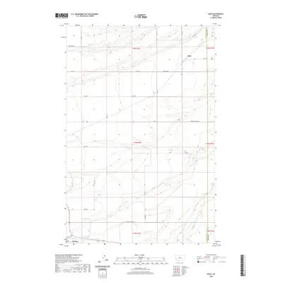
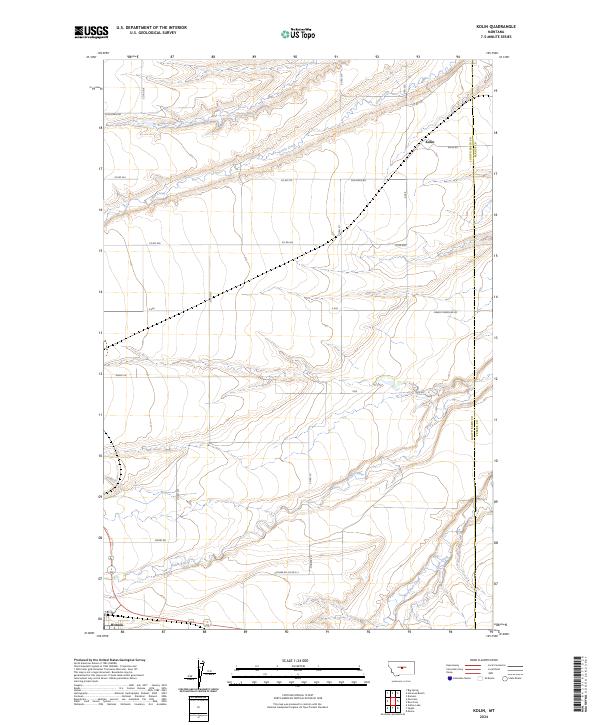
1970 Kolin
Judith Basin County, MT
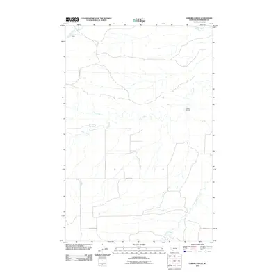
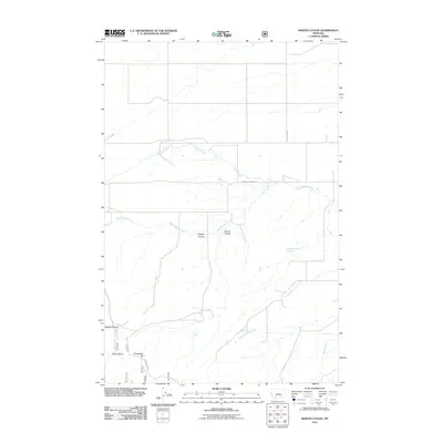
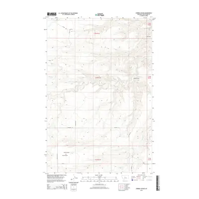
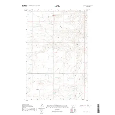
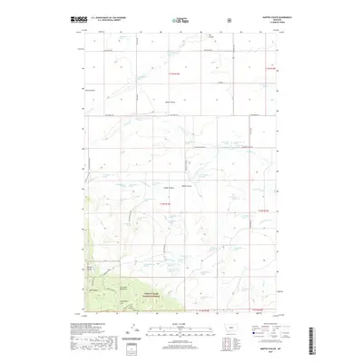
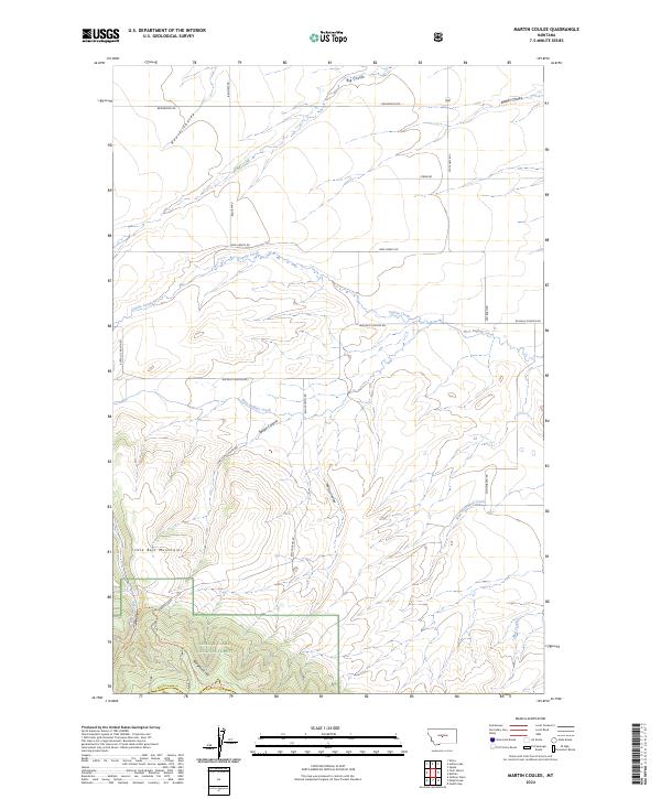
1970 Martin Coulee
Judith Basin County, MT

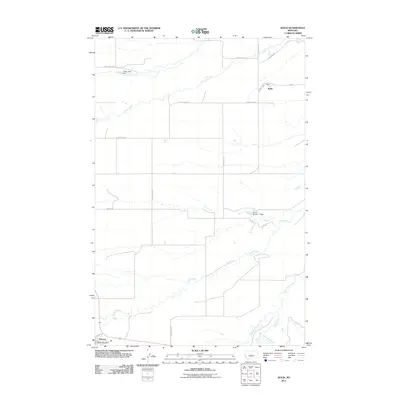
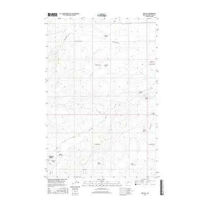
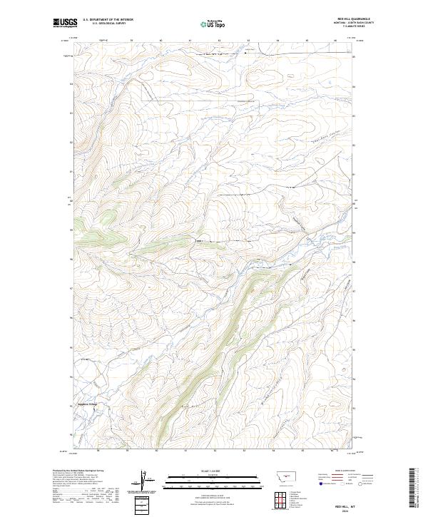
1970 Red Hill
Judith Basin County, MT
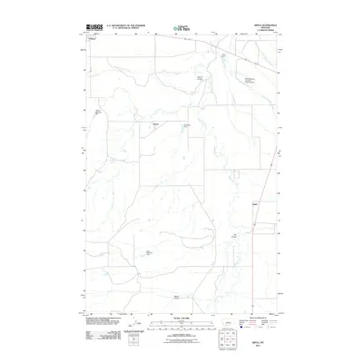
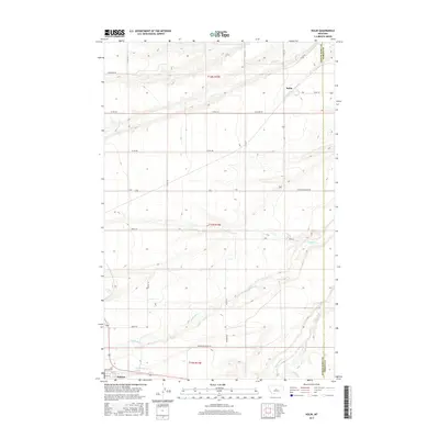
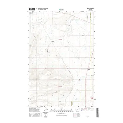
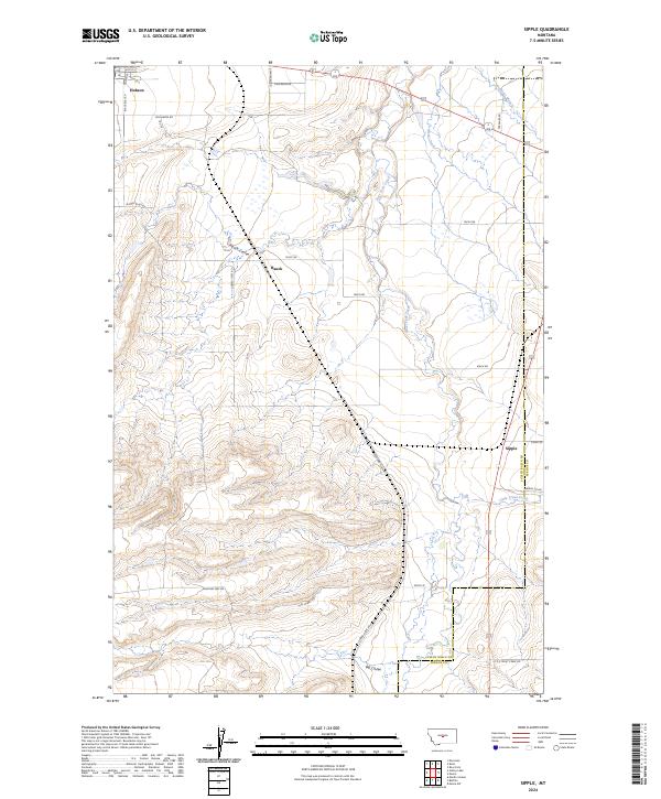
1970 Sipple
Judith Basin County, MT
1970 Twin Sisters
Judith Basin County, MT
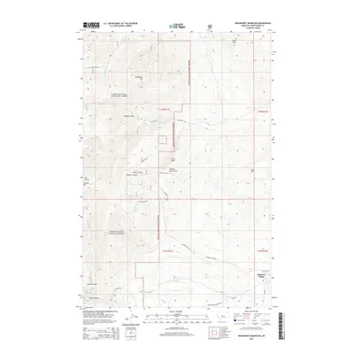
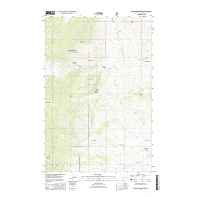
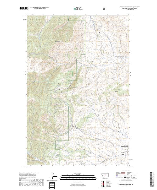
1970 Woodhurst Mountain
Judith Basin County, MT
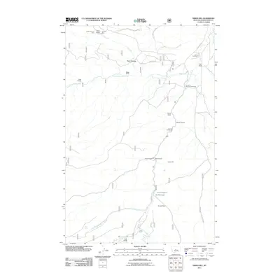
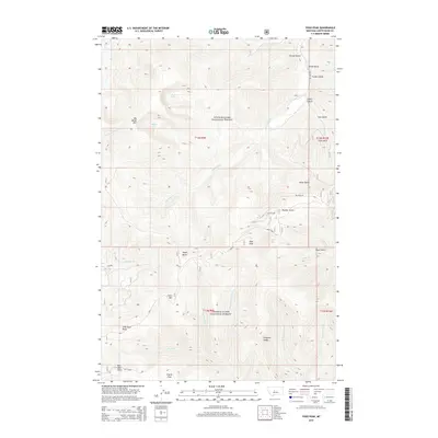
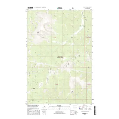
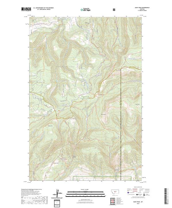
1972 Daisy Peak
Judith Basin County, MT
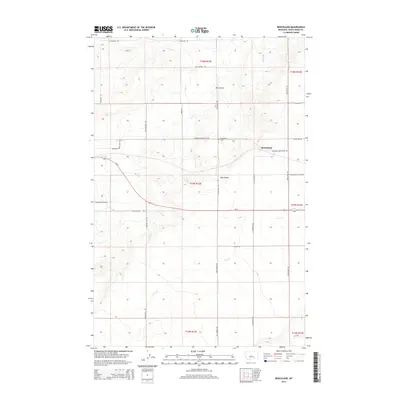
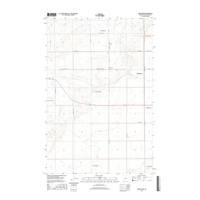
1978 Benchland
Judith Basin County, MT
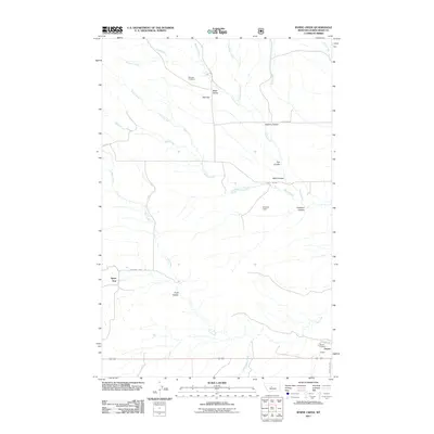
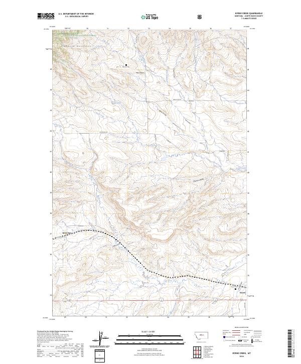
1978 Byrne Creek
Judith Basin County, MT
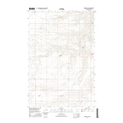
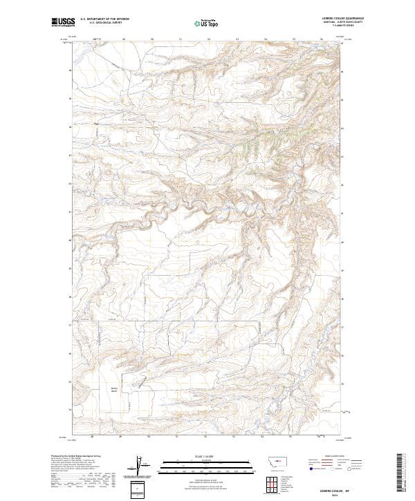
1978 Leiberg Coulee
Judith Basin County, MT
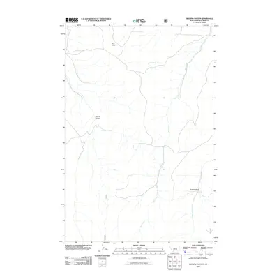
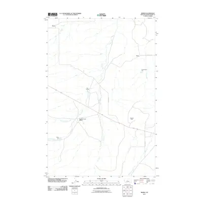
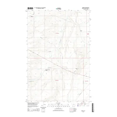
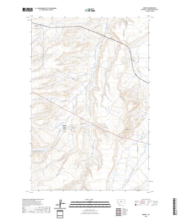
1978 Merino
Judith Basin County, MT
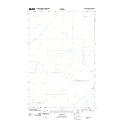
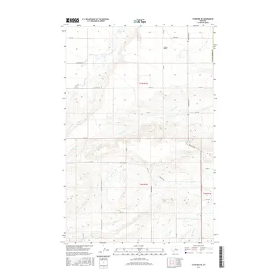
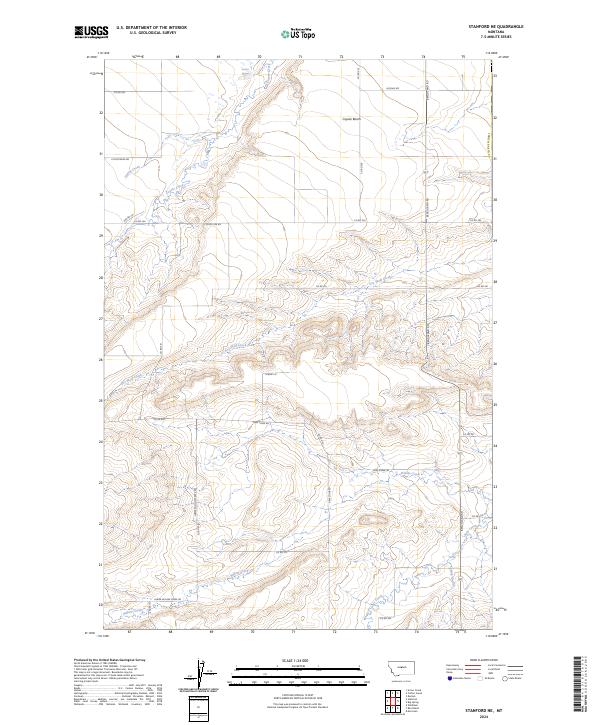
1978 Stanford NE
Judith Basin County, MT
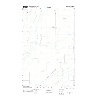
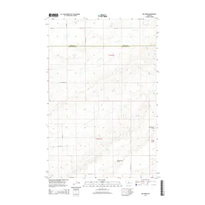
1979 Arrow Creek
Judith Basin County, MT
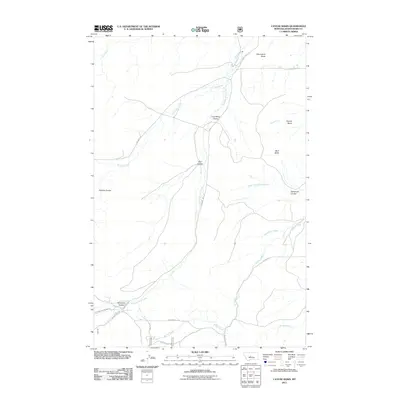
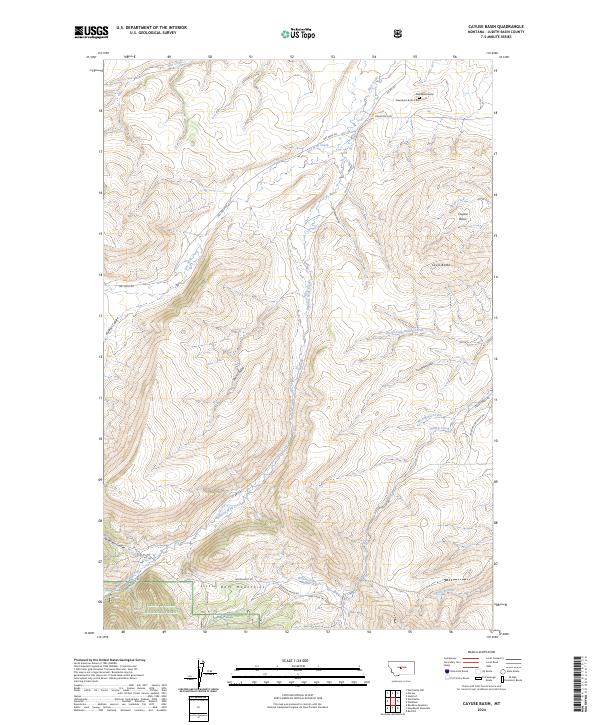
1979 Cayuse Basin
Judith Basin County, MT
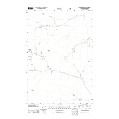
1995 Bandbox Mountain
Judith Basin County, MT
1995 Browns Canyon
Judith Basin County, MT
1995 Byrne Creek
Judith Basin County, MT
1995 Cayuse Basin
Judith Basin County, MT
1995 Daisy Peak
Judith Basin County, MT
1995 Ettien Spring
Judith Basin County, MT
1995 Indian Hill
Judith Basin County, MT

1995 Limestone Butte
Judith Basin County, MT
1995 Martin Coulee
Judith Basin County, MT
1995 Mixes Baldy
Judith Basin County, MT
1995 Sand Point
Judith Basin County, MT
1995 The Arch
Judith Basin County, MT
1995 Twin Sisters
Judith Basin County, MT
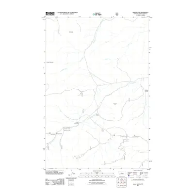
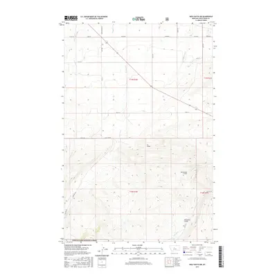
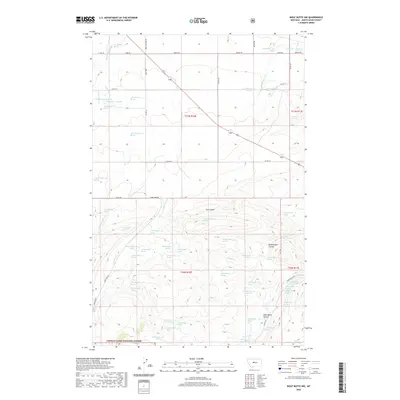
1995 Wolf Butte
Judith Basin County, MT
1995 Wolf Butte NW
Judith Basin County, MT
1995 Woodhurst Mountain
Judith Basin County, MT
1995 Yogo Peak
Judith Basin County, MT
2011 Ackley Lake
Judith Basin County, MT
2011 Arrow Creek
Judith Basin County, MT
2011 Bandbox Mountain
Judith Basin County, MT
2011 Benchland
Judith Basin County, MT
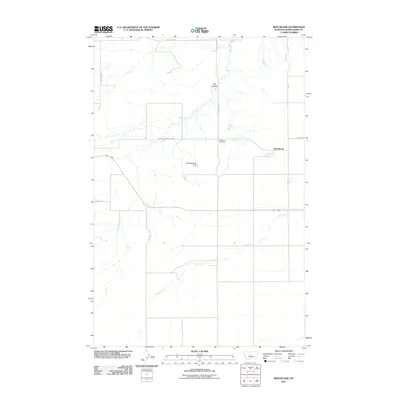
2011 Big Spring
Judith Basin County, MT
2011 Browns Canyon
Judith Basin County, MT
2011 Buffalo
Judith Basin County, MT
2011 Byrne Creek
Judith Basin County, MT
2011 Cayuse Basin
Judith Basin County, MT
2011 Daisy Peak
Judith Basin County, MT
2011 Ettien Spring
Judith Basin County, MT
2011 Indian Hill
Judith Basin County, MT
2011 Kolin
Judith Basin County, MT
2011 Leiberg Coulee
Judith Basin County, MT
2011 Limestone Butte
Judith Basin County, MT
2011 Martin Coulee
Judith Basin County, MT
2011 Merino
Judith Basin County, MT
2011 Mixes Baldy
Judith Basin County, MT
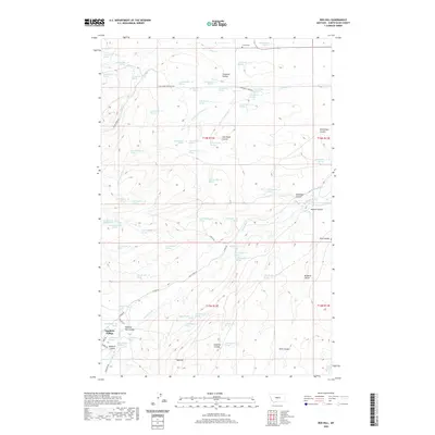
2011 Red Hill
Judith Basin County, MT
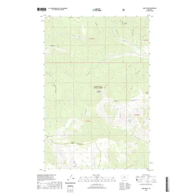
2011 Sand Point
Judith Basin County, MT
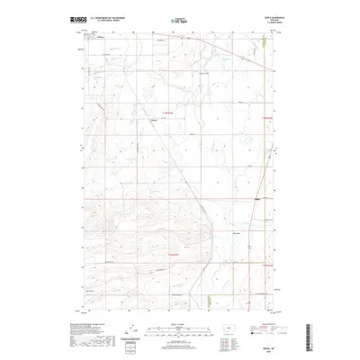
2011 Sipple
Judith Basin County, MT
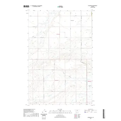
2011 Stanford NE
Judith Basin County, MT
2011 The Arch
Judith Basin County, MT
2011 Twin Sisters
Judith Basin County, MT
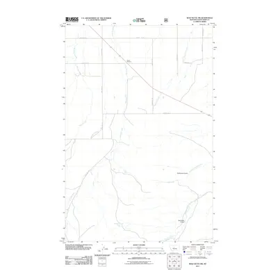
2011 Wolf Butte
Judith Basin County, MT
2011 Wolf Butte NW
Judith Basin County, MT
2011 Woodhurst Mountain
Judith Basin County, MT
2011 Yogo Peak
Judith Basin County, MT
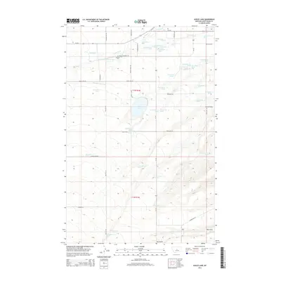
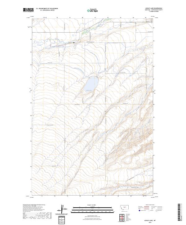
2014 Ackley Lake
Judith Basin County, MT
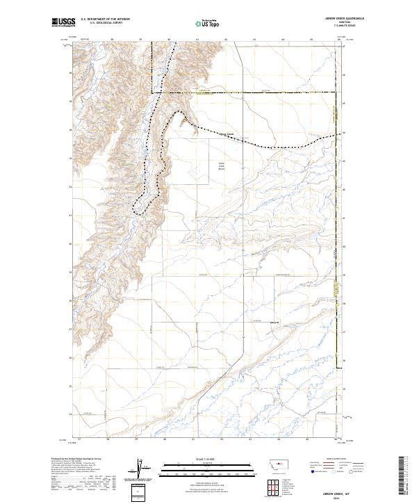
2014 Arrow Creek
Judith Basin County, MT
2014 Bandbox Mountain
Judith Basin County, MT
2014 Benchland
Judith Basin County, MT
2014 Big Spring
Judith Basin County, MT
2014 Browns Canyon
Judith Basin County, MT
2014 Buffalo
Judith Basin County, MT
2014 Byrne Creek
Judith Basin County, MT
2014 Cayuse Basin
Judith Basin County, MT
2014 Daisy Peak
Judith Basin County, MT
2014 Ettien Spring
Judith Basin County, MT
2014 Indian Hill
Judith Basin County, MT
2014 Kolin
Judith Basin County, MT
2014 Leiberg Coulee
Judith Basin County, MT
2014 Limestone Butte
Judith Basin County, MT
2014 Martin Coulee
Judith Basin County, MT
2014 Merino
Judith Basin County, MT
2014 Mixes Baldy
Judith Basin County, MT
2014 Red Hill
Judith Basin County, MT
2014 Sand Point
Judith Basin County, MT
2014 Sipple
Judith Basin County, MT
2014 Stanford NE
Judith Basin County, MT
2014 The Arch
Judith Basin County, MT
2014 Twin Sisters
Judith Basin County, MT
2014 Wolf Butte
Judith Basin County, MT
2014 Wolf Butte NW
Judith Basin County, MT
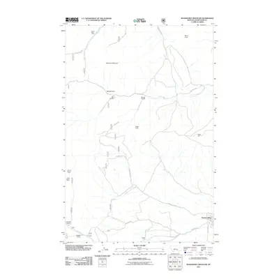
2014 Woodhurst Mountain
Judith Basin County, MT
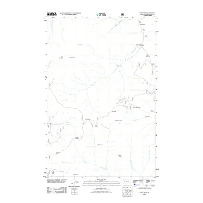
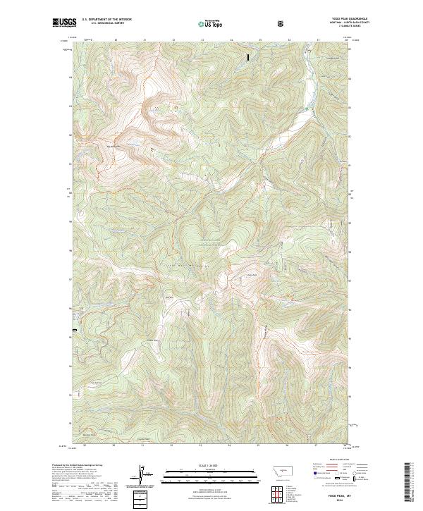
2014 Yogo Peak
Judith Basin County, MT
2017 Ackley Lake
Judith Basin County, MT

2017 Arrow Creek
Judith Basin County, MT
2017 Bandbox Mountain
Judith Basin County, MT
2017 Benchland
Judith Basin County, MT
2017 Big Spring
Judith Basin County, MT
2017 Browns Canyon
Judith Basin County, MT
2017 Buffalo
Judith Basin County, MT
2017 Byrne Creek
Judith Basin County, MT
2017 Cayuse Basin
Judith Basin County, MT
2017 Daisy Peak
Judith Basin County, MT
2017 Ettien Spring
Judith Basin County, MT
2017 Indian Hill
Judith Basin County, MT
2017 Kolin
Judith Basin County, MT
2017 Leiberg Coulee
Judith Basin County, MT
2017 Limestone Butte
Judith Basin County, MT
2017 Martin Coulee
Judith Basin County, MT
2017 Merino
Judith Basin County, MT
2017 Mixes Baldy
Judith Basin County, MT
2017 Red Hill
Judith Basin County, MT
2017 Sand Point
Judith Basin County, MT
2017 Sipple
Judith Basin County, MT
2017 Stanford NE
Judith Basin County, MT
2017 The Arch
Judith Basin County, MT
2017 Twin Sisters
Judith Basin County, MT
2017 Wolf Butte
Judith Basin County, MT
2017 Wolf Butte NW
Judith Basin County, MT
2017 Woodhurst Mountain
Judith Basin County, MT
2017 Yogo Peak
Judith Basin County, MT
2020 Ackley Lake
Judith Basin County, MT
2020 Arrow Creek
Judith Basin County, MT
2020 Bandbox Mountain
Judith Basin County, MT
2020 Benchland
Judith Basin County, MT
2020 Big Spring
Judith Basin County, MT
2020 Browns Canyon
Judith Basin County, MT
2020 Buffalo
Judith Basin County, MT
2020 Byrne Creek
Judith Basin County, MT
2020 Cayuse Basin
Judith Basin County, MT
2020 Daisy Peak
Judith Basin County, MT
2020 Ettien Spring
Judith Basin County, MT
2020 Indian Hill
Judith Basin County, MT
2020 Kolin
Judith Basin County, MT
2020 Leiberg Coulee
Judith Basin County, MT
2020 Limestone Butte
Judith Basin County, MT
2020 Martin Coulee
Judith Basin County, MT
2020 Merino
Judith Basin County, MT
2020 Mixes Baldy
Judith Basin County, MT
2020 Red Hill
Judith Basin County, MT
2020 Sand Point
Judith Basin County, MT
2020 Sipple
Judith Basin County, MT
2020 Stanford NE
Judith Basin County, MT
2020 The Arch
Judith Basin County, MT
2020 Twin Sisters
Judith Basin County, MT
2020 Wolf Butte
Judith Basin County, MT
2020 Wolf Butte NW
Judith Basin County, MT
2020 Woodhurst Mountain
Judith Basin County, MT
2020 Yogo Peak
Judith Basin County, MT
2024 Ackley Lake
Judith Basin County, MT
2024 Arrow Creek
Judith Basin County, MT
2024 Bandbox Mountain
Judith Basin County, MT
2024 Benchland
Judith Basin County, MT
2024 Big Spring
Judith Basin County, MT
2024 Browns Canyon
Judith Basin County, MT
2024 Buffalo
Judith Basin County, MT
2024 Byrne Creek
Judith Basin County, MT
2024 Cayuse Basin
Judith Basin County, MT
2024 Daisy Peak
Judith Basin County, MT
2024 Ettien Spring
Judith Basin County, MT
2024 Indian Hill
Judith Basin County, MT
2024 Kolin
Judith Basin County, MT
2024 Leiberg Coulee
Judith Basin County, MT
2024 Limestone Butte
Judith Basin County, MT
2024 Martin Coulee
Judith Basin County, MT
2024 Merino
Judith Basin County, MT
2024 Mixes Baldy
Judith Basin County, MT
2024 Red Hill
Judith Basin County, MT
2024 Sand Point
Judith Basin County, MT
2024 Sipple
Judith Basin County, MT
2024 Stanford NE
Judith Basin County, MT
2024 The Arch
Judith Basin County, MT
2024 Twin Sisters
Judith Basin County, MT
2024 Wolf Butte
Judith Basin County, MT
2024 Wolf Butte NW
Judith Basin County, MT
2024 Woodhurst Mountain
Judith Basin County, MT
2024 Yogo Peak
Judith Basin County, MT