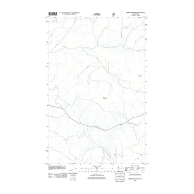
2011 Map of Barker Mountain
USGS Topo · Published 2011About this map
Anglin sits at the southern edge of this Okanogan County terrain, where the winding course of Bonaparte Creek meets a network of rural roads including Huff Rd and 5 Mile Rd. The landscape is dominated by the massive presence of Barker Mountain and Island Mountain, features that define the watershed for several significant drainages. Waters from Antoine Creek and Siwash Creek cut through the northern reaches of the quadrangle, while Razor Lake provides a high-altitude water body in the northeastern corner.
Find a feature on this map
18 named features on this map. Tap any name to fly to it.
Don’t see what you’re looking for? This feature index may not catch every label — zoom into the map to look around manually.
Map Details
Editions of this 2011 Barker Mountain Map
This is the sole edition of this map. No revisions or reprints were ever made.
Other maps of this area
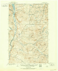
1902 · Osoyoos
USGS Topo · 1:125,000
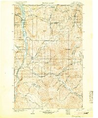
1904 · Osoyoos
USGS Topo · 1:125,000
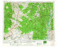
1954 · Okanogan
USGS Topo · 1:250,000
1957 · Mt. Bonaparte
USGS Topo · 1:62,500
1957 · Tonasket
USGS Topo · 1:62,500
1957 · Oroville
USGS Topo · 1:62,500
1957 · Aeneas Valley
USGS Topo · 1:62,500
1958 · Okanogan
USGS Topo · 1:250,000
1980 · Keystone
USGS Topo · 1:24,000
1981 · Tonasket
USGS Topo · 1:24,000