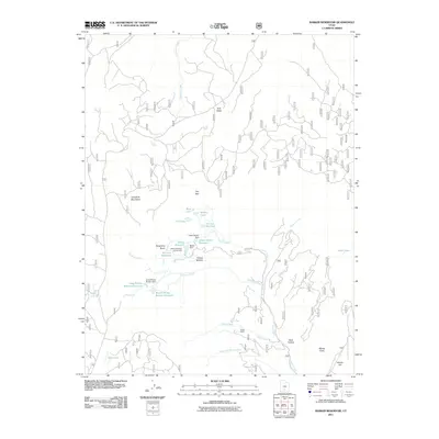
2011 Map of Barker Reservoir
USGS Topo · Published 2011About this map
The high plateau country of the Escalante Mountains is defined by an intricate network of water management and high-elevation basins. This 2011 survey illustrates a landscape where natural features like Sink Holes and Dougherty Basin exist alongside a series of engineered reservoirs including Barker Reservoir, Long Willow Bottom Reservoir, and the Joe Lay Reservoir. The presence of the White Ranch and named locales such as Whites Flat and Whites Cove suggest a history of grazing and ranching operations that relied on these carefully managed water sources. The map captures the infrastructure of the area, from the Barker Dam to the Barker Reservoir Campground, highlighting its dual role for resource management and mountain recreation. Drainage systems like Antimony Creek and North Creek carve through the terrain, connecting the high lakes to the valley floors below.
Find a feature on this map
37 named features on this map. Tap any name to fly to it.
Don’t see what you’re looking for? This feature index may not catch every label — zoom into the map to look around manually.
Map Details
Editions of this 2011 Barker Reservoir Map
This is the sole edition of this map. No revisions or reprints were ever made.
Other maps of this area

1885 · Fish Lake
USGS Topo · 1:250,000

1886 · Escalante
USGS Topo · 1:250,000

1896 · Fish Lake
USGS Topo · 1:250,000

1956 · Escalante
USGS Topo · 1:250,000

1956 · Salina
USGS Topo · 1:250,000

1960 · Escalante
USGS Topo · 1:250,000

1960 · Salina
USGS Topo · 1:250,000

1962 · Salina
USGS Topo · 1:250,000

1964 · Griffin Point
USGS Topo · 1:24,000

1964 · Barker Reservoir
USGS Topo · 1:24,000