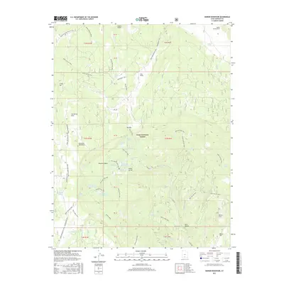
2017 Map of Barker Reservoir
USGS Topo · Published 2017About this map
The Dixie National Forest covers this high-elevation landscape, characterized by a complex network of seasonal water storage and alpine basins. The area serves as a significant hydrologic hub within the Escalante Mountains, featuring a series of catchments including Barker Reservoir, Lower Barker Reservoir, and Joe Lay Reservoir. These water bodies are connected by a system of creeks such as Twitchell Cr and N Cr, illustrating the intensive water management required in this arid upland environment.
Find a feature on this map
66 named features on this map. Tap any name to fly to it.
Don’t see what you’re looking for? This feature index may not catch every label — zoom into the map to look around manually.
Map Details
Editions of this 2017 Barker Reservoir Map
This is the sole edition of this map. No revisions or reprints were ever made.
Other maps of this area

1885 · Fish Lake
USGS Topo · 1:250,000

1886 · Escalante
USGS Topo · 1:250,000

1896 · Fish Lake
USGS Topo · 1:250,000

1956 · Escalante
USGS Topo · 1:250,000

1956 · Salina
USGS Topo · 1:250,000

1960 · Escalante
USGS Topo · 1:250,000

1960 · Salina
USGS Topo · 1:250,000

1962 · Salina
USGS Topo · 1:250,000

1964 · Griffin Point
USGS Topo · 1:24,000

1964 · Barker Reservoir
USGS Topo · 1:24,000