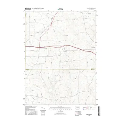
2016 Map of Barkeyville
USGS Topo · Published 2016About this map
Slippery Rock Creek winds through this rural landscape on the border of Venango and Butler counties, anchoring a network of small agricultural and residential settlements. The village of Barkeyville sits at a major crossroads, while other communities like Wesley, Nectarine, and Bullion are scattered across the higher ground. The map details a dense grid of local roads, many named for early families, such as Barkey Hoffman Rd and Riddle Rd. This 2016 survey captures the area's long-standing character through features like Mount Irwin Cem and Pleasantview Cem, which offer significant value for genealogists and local historians. To the south, the settlement of Murrinsville and the nearby Deegan represent the transition into Butler County, following the drainage of McMurray Run.
Find a feature on this map
77 named features on this map. Tap any name to fly to it.
Don’t see what you’re looking for? This feature index may not catch every label — zoom into the map to look around manually.
Map Details
Editions of this 2016 Barkeyville Map
This is the sole edition of this map. No revisions or reprints were ever made.
Other maps of this area

1909 · Franklin
USGS Topo · 1:62,500

1910 · Hilliards
USGS Topo · 1:62,500

1911 · Franklin
USGS Topo · 1:62,500

1911 · Stoneboro
USGS Topo · 1:62,500

1912 · Hilliards
USGS Topo · 1:62,500

1913 · Stoneboro
USGS Topo · 1:62,500

1913 · Mercer
USGS Topo · 1:62,500

1939 · Mercer
USGS Topo · 1:62,500

1943 · Mercer
USGS Topo · 1:62,500

1943 · Stoneboro
USGS Topo · 1:62,500