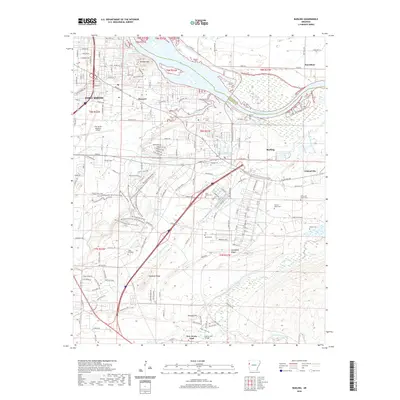
2020 Map of Barling
USGS Topo · Published 2020About this map
The Arkansas River carves the northern boundary of this landscape, separating the developed outskirts of Fort Smith from the rural bottomlands of Haroldton. South of the river, the residential and commercial expansion of Massard and Barling is framed by distinctive topographic features like Wildcat Mtn and Donahoe Ridge. The area maintains a high concentration of historical burial grounds, ranging from the McAllister Cem near the river to the Saint Marys Cem and Mc Coy Cem further south, providing essential data for genealogical research in Sebastian County.
Find a feature on this map
167 named features on this map. Tap any name to fly to it.
Don’t see what you’re looking for? This feature index may not catch every label — zoom into the map to look around manually.
Map Details
Editions of this 2020 Barling Map
This is the sole edition of this map. No revisions or reprints were ever made.
Other maps of this area

1879 · Fort Smith
USGS Topo · 1:62,500

1887 · Van Buren
USGS Topo · 1:62,500

1887 · Greenwood
USGS Topo · 1:62,500

1890 · Fort Smith
USGS Topo · 1:125,000

1906 · Lavaca
USGS Topo · 1:62,500

1906 · Barber
USGS Topo · 1:62,500

1943 · Fort Smith
USGS Topo · 1:125,000

1946 · Fort Smith
USGS Topo · 1:250,000

1947 · Lavaca
USGS Topo · 1:62,500

1947 · Van Buren
USGS Topo · 1:62,500