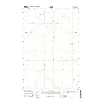
2014 Map of Barlow
USGS Topo · Published 2014About this map
Barlow and the smaller settlement of Guptill anchor this Foster County landscape, which is defined by an intricate network of wetlands and drainage patterns. The topography is shaped by the presence of Rosefield Slough and Scotts Slough, alongside the winding course of Rocky Run. These water features, including the small Lake Claire, suggest a prairie pothole environment common to the region's agricultural heartland. The map reflects a meticulously organized section-line grid, with numbered avenues and streets like 66th Ave NE and 12th Ave NE carving out the territory between the Eddy and Foster county line. For genealogists, the Barlow Cemetery provides a primary point of reference for local family history research in this rural North Dakota community.
Find a feature on this map
23 named features on this map. Tap any name to fly to it.
Don’t see what you’re looking for? This feature index may not catch every label — zoom into the map to look around manually.
Map Details
Editions of this 2014 Barlow Map
This is the sole edition of this map. No revisions or reprints were ever made.
Other maps of this area

1948 · New Rockford
USGS Topo · 1:62,500

1948 · Cathay
USGS Topo · 1:62,500

1948 · Carrington
USGS Topo · 1:62,500

1949 · Cathay SE
USGS Topo · 1:24,000

1949 · Munster
USGS Topo · 1:24,000

1950 · Carrington East
USGS Topo · 1:24,000

1950 · New Rockford
USGS Topo · 1:24,000

1950 · New Rockford NE
USGS Topo · 1:24,000
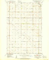
1950 · New Rockford SE
USGS Topo · 1:24,000

1950 · Barlow
USGS Topo · 1:24,000