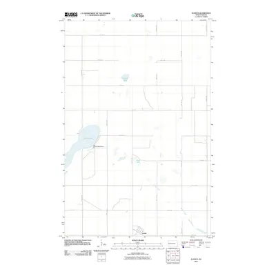
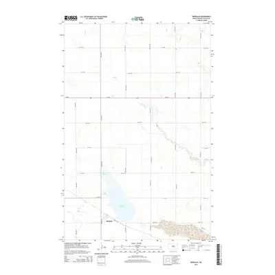
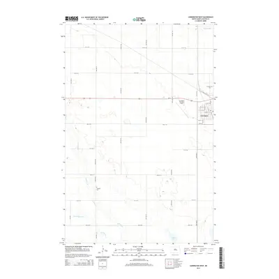
1950 Map of Barlow
USGS Topo · Published 1950About this map
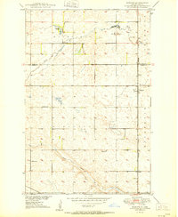
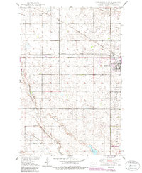
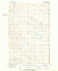
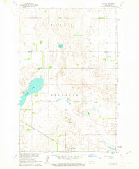
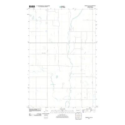
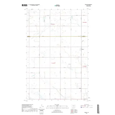
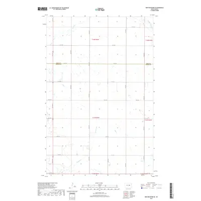
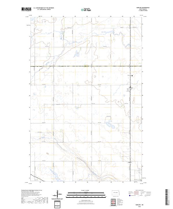
The Northern Pacific railroad line anchors the settlement of Barlow, serving as a primary transit corridor through the prairie landscape of Foster County. This mid-century survey illustrates a rural social structure defined by its educational network, with School No 1, School No 2, School No 3, and School No 4 distributed across the townships of Rosefield, Birtsell, and Estabrook. The terrain is characterized by intricate drainage patterns and depressions, including Rosefield Slough, Scotts Slough, and Lake Claire, which connect to Rocky Run. To the south, the village of Guptill sits near the crossing of the M St P & S Ste M railroad, while local industry is represented by several Gravel Pit operations near the watercourses. The inclusion of the Barlow Cem and precise township boundaries provides essential data for those tracing the development of these North Dakota farming communities.
Find a feature on this map
18 named features on this map. Tap any name to fly to it.
Don’t see what you’re looking for? This feature index may not catch every label — zoom into the map to look around manually.
Map Details
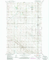
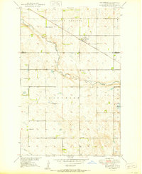
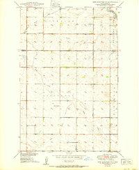
Editions of this 1950 Barlow Map
2 editions found
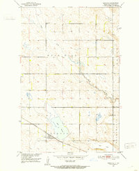
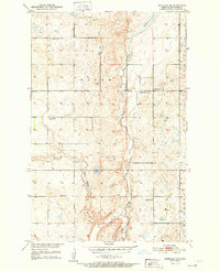
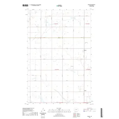
Historical Maps of Guptill Through Time
54 maps found
1950 Barlow
Foster County, ND
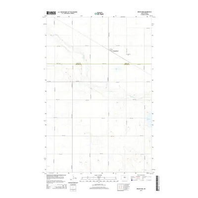
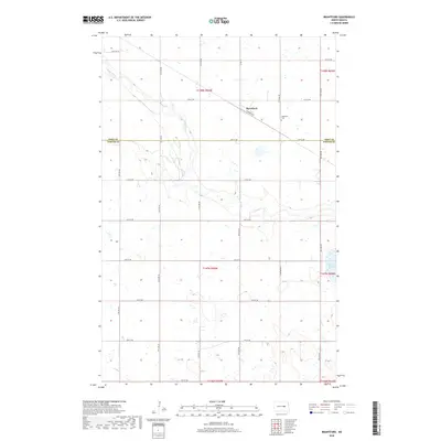
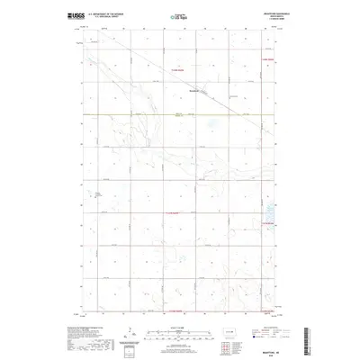
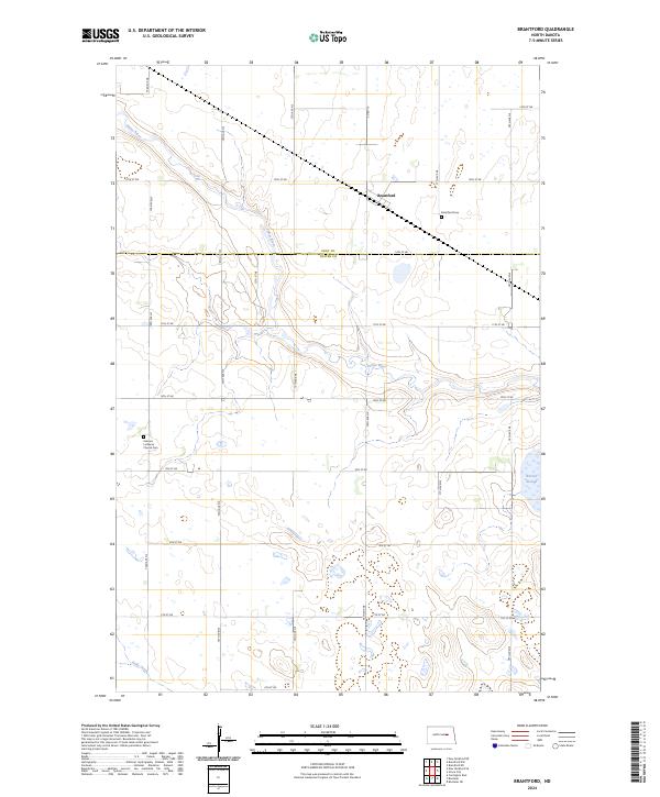
1950 Brantford
Foster County, ND
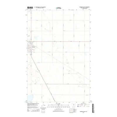
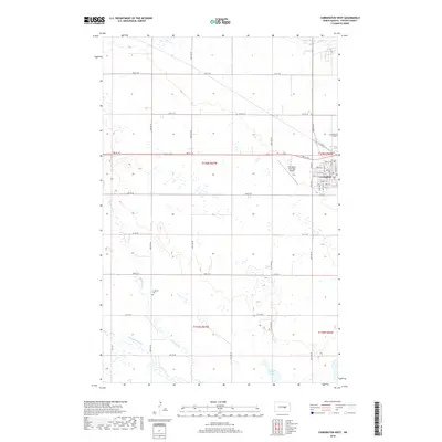
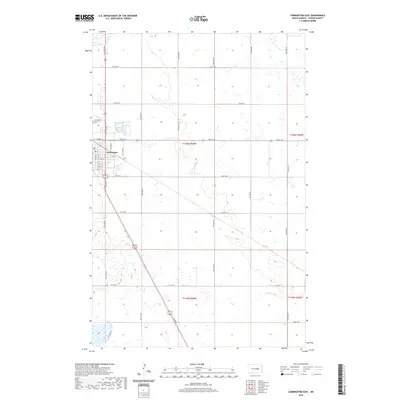
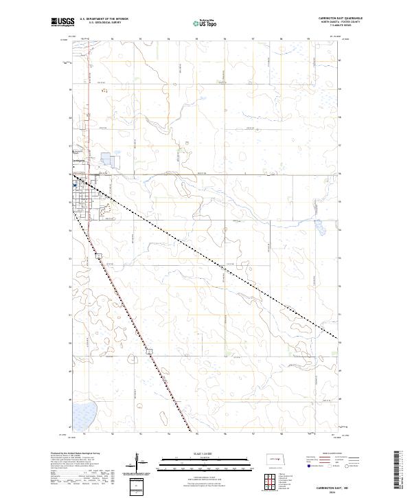
1950 Carrington East
Foster County, ND
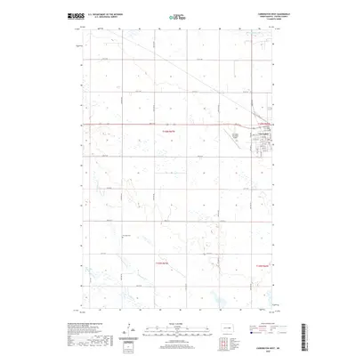
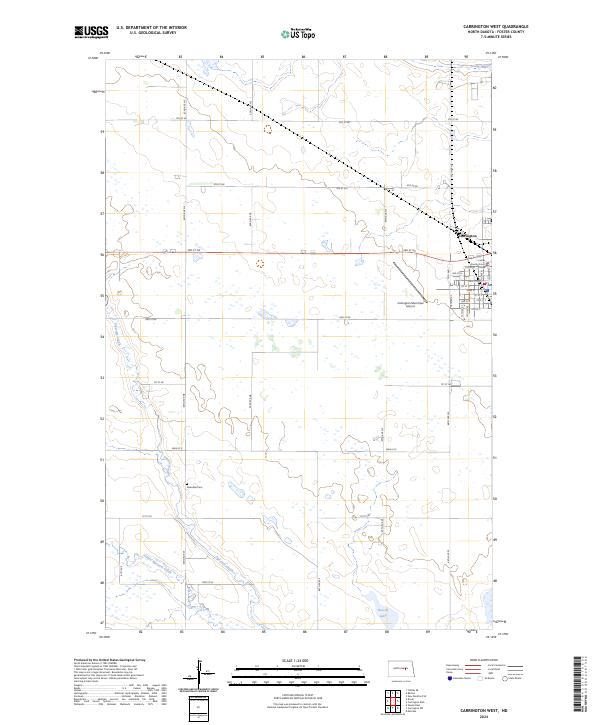
1950 Carrington West
Foster County, ND
1950 New Rockford SE
Foster County, ND
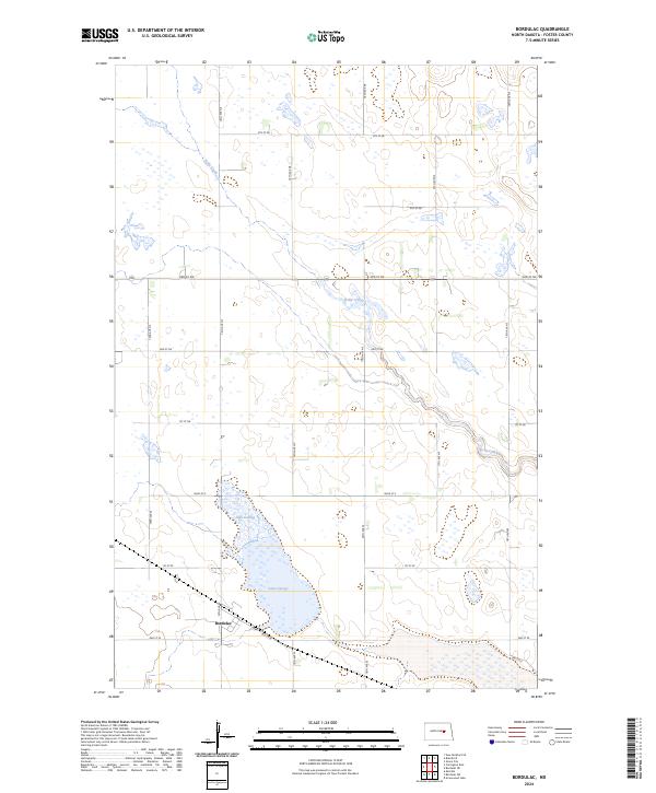
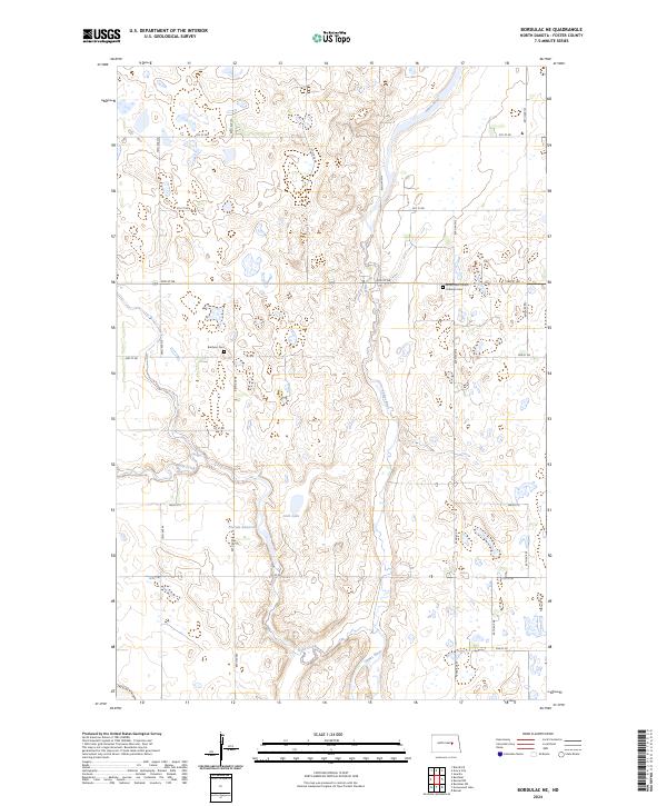
1951 Bordulac
Foster County, ND
1951 Bordulac NE
Foster County, ND
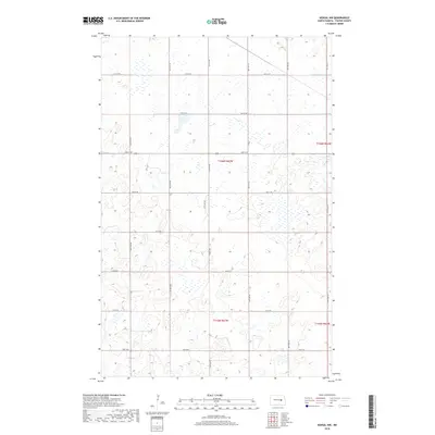
1951 Kensal NW
Foster County, ND
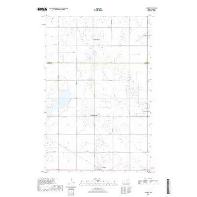
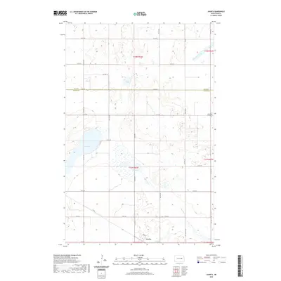
1961 Juanita
Foster County, ND
2011 Barlow
Foster County, ND
2011 Bordulac
Foster County, ND
2011 Bordulac NE
Foster County, ND
2011 Brantford
Foster County, ND
2011 Carrington East
Foster County, ND
2011 Carrington West
Foster County, ND
2011 Juanita
Foster County, ND
2011 Kensal NW
Foster County, ND
2011 New Rockford SE
Foster County, ND
2014 Barlow
Foster County, ND
2014 Bordulac
Foster County, ND
2014 Bordulac NE
Foster County, ND
2014 Brantford
Foster County, ND
2014 Carrington East
Foster County, ND
2014 Carrington West
Foster County, ND
2014 Juanita
Foster County, ND
2014 Kensal NW
Foster County, ND
2014 New Rockford SE
Foster County, ND
2017 Barlow
Foster County, ND
2017 Carrington East
Foster County, ND
2018 Bordulac
Foster County, ND
2018 Bordulac NE
Foster County, ND
2018 Brantford
Foster County, ND
2018 Carrington West
Foster County, ND
2018 Juanita
Foster County, ND
2018 Kensal NW
Foster County, ND
2018 New Rockford SE
Foster County, ND
2020 Barlow
Foster County, ND
2020 Bordulac
Foster County, ND
2020 Bordulac NE
Foster County, ND
2020 Brantford
Foster County, ND
2020 Carrington East
Foster County, ND
2020 Carrington West
Foster County, ND
2020 Juanita
Foster County, ND
2020 Kensal NW
Foster County, ND
2020 New Rockford SE
Foster County, ND
2024 Barlow
Foster County, ND
2024 Bordulac
Foster County, ND
2024 Bordulac NE
Foster County, ND
2024 Brantford
Foster County, ND
2024 Carrington East
Foster County, ND
2024 Carrington West
Foster County, ND
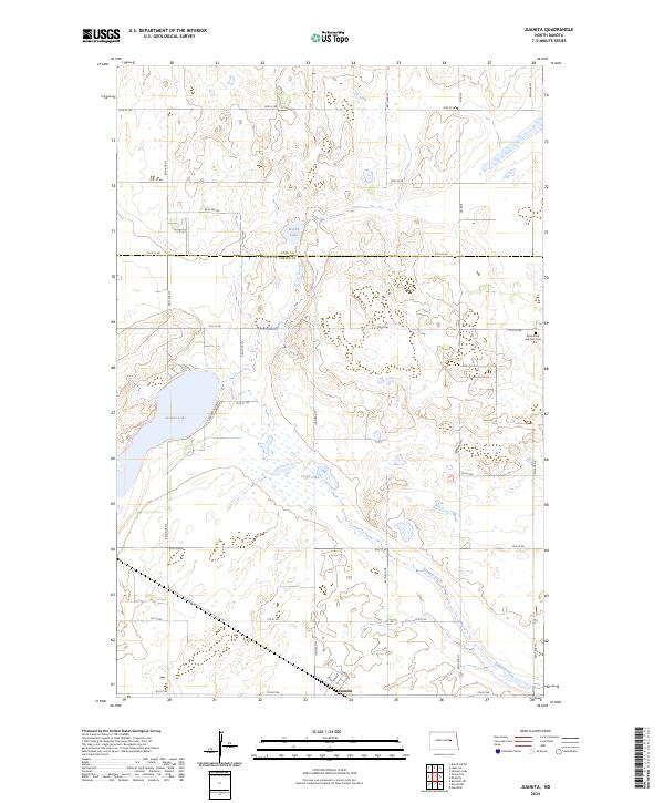
2024 Juanita
Foster County, ND
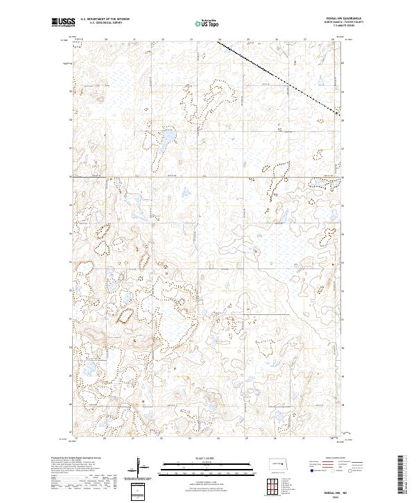
2024 Kensal NW
Foster County, ND
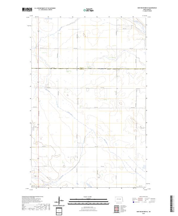
2024 New Rockford SE
Foster County, ND