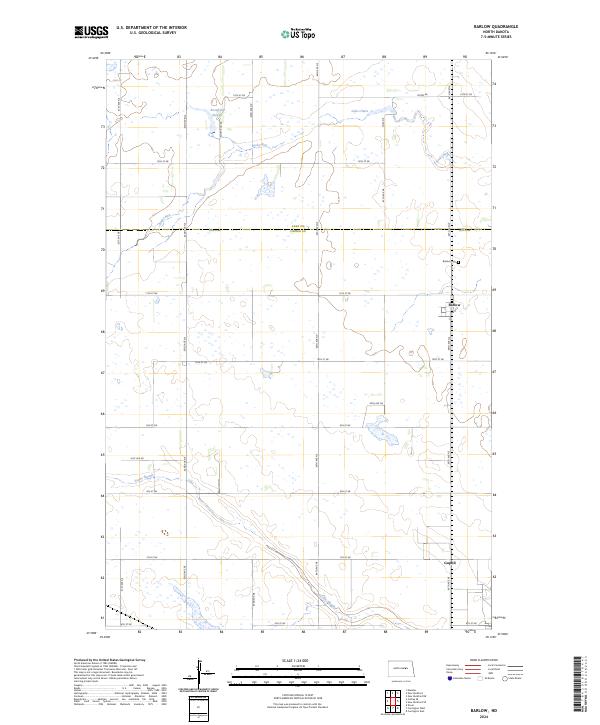
2024 Map of Barlow
USGS Topo · Published 2024About this map
The settlement of Barlow and the surrounding prairie of Foster County anchor this modern survey, reflecting a landscape defined by its wetland basins and section-line roads. This area of central North Dakota is characterized by numerous glacial depressions, including Rosefield Slough, Scotts Slough, and Lake Claire, which contribute to the ecological significance of the Foster County Waterfowl Production Area. The drainage of Rocky Run meanders through the northern townships, crossing the boundary between Eddy and Foster counties.
Find a feature on this map
25 named features on this map. Tap any name to fly to it.
Don’t see what you’re looking for? This feature index may not catch every label — zoom into the map to look around manually.
Map Details
Editions of this 2024 Barlow Map
This is the sole edition of this map. No revisions or reprints were ever made.
Other maps of this area

1948 · New Rockford
USGS Topo · 1:62,500

1948 · Cathay
USGS Topo · 1:62,500

1948 · Carrington
USGS Topo · 1:62,500

1949 · Cathay SE
USGS Topo · 1:24,000

1949 · Munster
USGS Topo · 1:24,000

1950 · Carrington East
USGS Topo · 1:24,000

1950 · New Rockford
USGS Topo · 1:24,000

1950 · New Rockford NE
USGS Topo · 1:24,000
1950 · New Rockford SE
USGS Topo · 1:24,000

1950 · Barlow
USGS Topo · 1:24,000