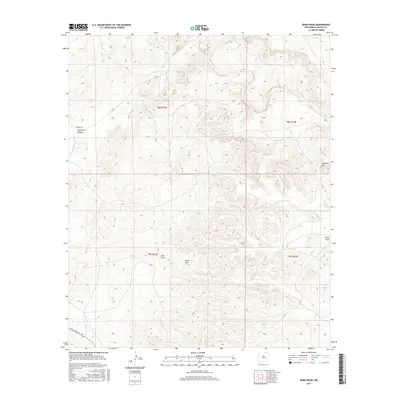
2017 Map of Barn Draw
USGS Topo · Published 2017About this map
Haystack Mtn rises above the arid plains of Chaves County, providing a high-ground perspective on the drainage systems that define this landscape. The map captures a topography marked by significant erosional features such as Barn Draw, Camp Draw, and the deep recesses of Rock Tank Canyon. These seasonal watercourses and the path of Salt Cr have historically dictated movement across this region, as evidenced by the sparse network of rural routes including Verbena Rd and Co Rd 3.
Find a feature on this map
16 named features on this map. Tap any name to fly to it.
Don’t see what you’re looking for? This feature index may not catch every label — zoom into the map to look around manually.
Map Details
Editions of this 2017 Barn Draw Map
This is the sole edition of this map. No revisions or reprints were ever made.
Other maps of this area

1949 · Roswell North
USGS Topo · 1:24,000

1949 · Corn Ranch
USGS Topo · 1:24,000

1950 · Corn Ranch
USGS Topo · 1:24,000

1955 · Roswell
USGS Topo · 1:250,000

1958 · Roswell
USGS Topo · 1:250,000

1962 · Roswell
USGS Topo · 1:250,000
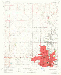
1962 · Roswell North
USGS Topo · 1:24,000

1962 · Horseshoe Bend
USGS Topo · 1:62,500

1962 · Rock House Canyon
USGS Topo · 1:24,000

1962 · Panther Hill
USGS Topo · 1:24,000