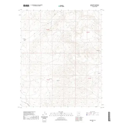
2020 Map of Barn Draw
USGS Topo · Published 2020About this map
Salt Cr winds through the drainage systems of northeastern Chaves County, defining a landscape of arid draws and isolated water management points. The terrain is marked by significant natural depressions and heights, ranging from the localized basin of Devils Hole to the prominent rise of Haystack Mtn. This area in the Pecos Valley region relies on a network of catchment features like Hub Tank, Ned Tank, and Todd Tank to support land use across the township and range divisions of t8s r22e and t9s r23e. Transport across the scrub and canyon lands is facilitated by a few primary routes, including Verbena Rd and W Pine Lodge Rd, which navigate the complex topography near Rock Tank Canyon and the namesake Barn Draw.
Find a feature on this map
16 named features on this map. Tap any name to fly to it.
Don’t see what you’re looking for? This feature index may not catch every label — zoom into the map to look around manually.
Map Details
Editions of this 2020 Barn Draw Map
This is the sole edition of this map. No revisions or reprints were ever made.
Other maps of this area

1949 · Roswell North
USGS Topo · 1:24,000

1949 · Corn Ranch
USGS Topo · 1:24,000

1950 · Corn Ranch
USGS Topo · 1:24,000

1955 · Roswell
USGS Topo · 1:250,000

1958 · Roswell
USGS Topo · 1:250,000

1962 · Roswell
USGS Topo · 1:250,000
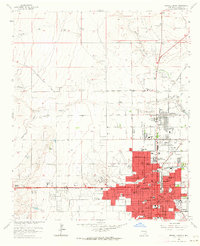
1962 · Roswell North
USGS Topo · 1:24,000

1962 · Horseshoe Bend
USGS Topo · 1:62,500

1962 · Rock House Canyon
USGS Topo · 1:24,000

1962 · Panther Hill
USGS Topo · 1:24,000