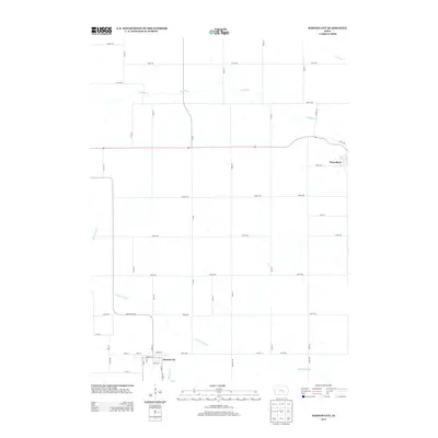
2013 Map of Barnes City
USGS Topo · Published 2013About this map
Barnes City and Deep River anchor the agricultural landscape of this Iowa quadrangle, situated at the intersection of several regional drainages. The S English River meanders through the southern half of the territory, joined by the smaller waters of Pleasant Cr, while the namesake Deep River flows across the northern section toward Jordan Cr. This survey illustrates the rigid section-line grid characteristic of the state's rural planning, defined by a dense network of gravel and paved roads such as V18 Rd and Co Hwy V21. The town site of Barnes City shows a compact residential core arranged around Cherry St, Spruce St, and Vine St, reflecting the traditional layout of a small Midwestern farming community in the early 21st century.
Find a feature on this map
45 named features on this map. Tap any name to fly to it.
Don’t see what you’re looking for? This feature index may not catch every label — zoom into the map to look around manually.
Map Details
Editions of this 2013 Barnes City Map
This is the sole edition of this map. No revisions or reprints were ever made.
Other maps of this area

1954 · Des Moines
USGS Topo · 1:250,000

1956 · Des Moines
USGS Topo · 1:250,000

1957 · Des Moines
USGS Topo · 1:250,000

1965 · Gibson
USGS Topo · 1:24,000

1965 · What Cheer
USGS Topo · 1:24,000

1968 · Deep River
USGS Topo · 1:24,000

1968 · Brooklyn
USGS Topo · 1:24,000

1968 · Victor
USGS Topo · 1:24,000

1968 · Barnes City
USGS Topo · 1:24,000

1969 · Des Moines
USGS Topo · 1:250,000