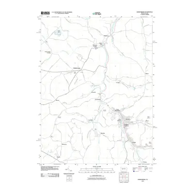
2010 Map of Barnesboro
USGS Topo · Published 2010About this map
Northern Cambria serves as the central hub of this northern Cambria County landscape, where the West Branch Susquehanna River winds southward through a corridor of established coal-patch towns and boroughs. The map illustrates the dense residential grids of Barnesboro, Spangler, and North Barnesboro, reflecting the region's industrial heritage. Beyond the primary settlements, the topography is dotted with smaller communities and historic crossroads such as Marsteller, Emeigh, and Stifflertown.
Find a feature on this map
111 named features on this map. Tap any name to fly to it.
Don’t see what you’re looking for? This feature index may not catch every label — zoom into the map to look around manually.
Map Details
Editions of this 2010 Barnesboro Map
This is the sole edition of this map. No revisions or reprints were ever made.
Other maps of this area

1902 · Patton
USGS Topo · 1:62,500

1902 · Barnesboro
USGS Topo · 1:62,500

1903 · Curwensville
USGS Topo · 1:62,500

1904 · Barnesboro
USGS Topo · 1:62,500

1904 · Patton
USGS Topo · 1:62,500

1906 · Punxsutawney
USGS Topo · 1:62,500

1939 · Curwensville
USGS Topo · 1:62,500

1939 · Punxsutawney
USGS Topo · 1:62,500

1942 · Curwensville
USGS Topo · 1:62,500

1942 · Punxsutawney
USGS Topo · 1:62,500
Featured Places
- Northern Cambria, PA
- Cherry Tree, PA
- Watkins, Barr Township
- Pine Township, PA
- Garmantown, Susquehanna Township