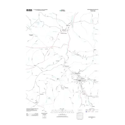
2013 Map of Barnesboro
USGS Topo · Published 2013About this map
Northern Cambria serves as the central hub for this portion of the Allegheny Plateau, where the W Br Susquehanna River winds through a landscape defined by its industrial and coal-mining heritage. The map documents the tightly clustered settlements of Barnesboro, Spangler, and West Branch, which form a continuous developed corridor along the river valley. Moving away from the primary borough, smaller mining and residential enclaves such as Marsteller, Emeigh, and Garmantown are connected by a network of winding roads like Maple Rd and Linden Rd.
Find a feature on this map
195 named features on this map. Tap any name to fly to it.
Don’t see what you’re looking for? This feature index may not catch every label — zoom into the map to look around manually.
Map Details
Editions of this 2013 Barnesboro Map
This is the sole edition of this map. No revisions or reprints were ever made.
Other maps of this area

1902 · Patton
USGS Topo · 1:62,500

1902 · Barnesboro
USGS Topo · 1:62,500

1903 · Curwensville
USGS Topo · 1:62,500

1904 · Barnesboro
USGS Topo · 1:62,500

1904 · Patton
USGS Topo · 1:62,500

1906 · Punxsutawney
USGS Topo · 1:62,500

1939 · Curwensville
USGS Topo · 1:62,500

1939 · Punxsutawney
USGS Topo · 1:62,500

1942 · Curwensville
USGS Topo · 1:62,500

1942 · Punxsutawney
USGS Topo · 1:62,500
Featured Places
- Northern Cambria, PA
- Cherry Tree, PA
- Watkins, Barr Township
- Pine Township, PA
- Garmantown, Susquehanna Township