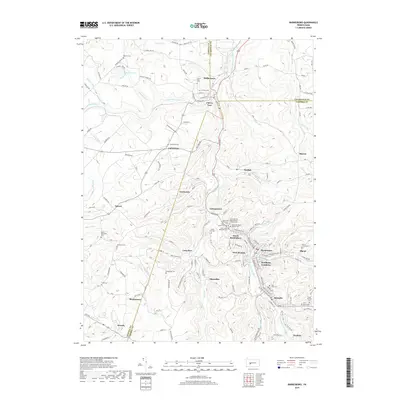
2019 Map of Barnesboro
USGS Topo · Published 2019About this map
The West Branch Susquehanna River cuts through this portion of the Pennsylvania coal region, where the industrial history of Northern Cambria and Spangler remains etched in the landscape. This area is notable for its high density of ethnic and denominational cemeteries, reflecting the diverse immigrant workforce that once powered the local mines. Clusters of burial grounds like Saint John the Baptist Roman Catholic Cem, Saint John's Ukrainian Cem, and Saint Stanislaus Kostka Cem north of Barnesboro testify to the tightly knit community structures of the early twentieth century. Small settlements and patches such as Emeigh, Marsteller, and Stifflertown are connected by a network of runs, including Cush Cushion Cr and Moss Cr, while the tri-county corner of Indiana, Clearfield, and Cambria Counties provides a clear jurisdictional boundary for local historians and genealogists.
Find a feature on this map
138 named features on this map. Tap any name to fly to it.
Don’t see what you’re looking for? This feature index may not catch every label — zoom into the map to look around manually.
Map Details
Editions of this 2019 Barnesboro Map
This is the sole edition of this map. No revisions or reprints were ever made.
Other maps of this area

1902 · Patton
USGS Topo · 1:62,500

1902 · Barnesboro
USGS Topo · 1:62,500

1903 · Curwensville
USGS Topo · 1:62,500

1904 · Barnesboro
USGS Topo · 1:62,500

1904 · Patton
USGS Topo · 1:62,500

1906 · Punxsutawney
USGS Topo · 1:62,500

1939 · Curwensville
USGS Topo · 1:62,500

1939 · Punxsutawney
USGS Topo · 1:62,500

1942 · Curwensville
USGS Topo · 1:62,500

1942 · Punxsutawney
USGS Topo · 1:62,500
Featured Places
- Northern Cambria, PA
- Cherry Tree, PA
- Watkins, Barr Township
- Pine Township, PA
- Garmantown, Susquehanna Township