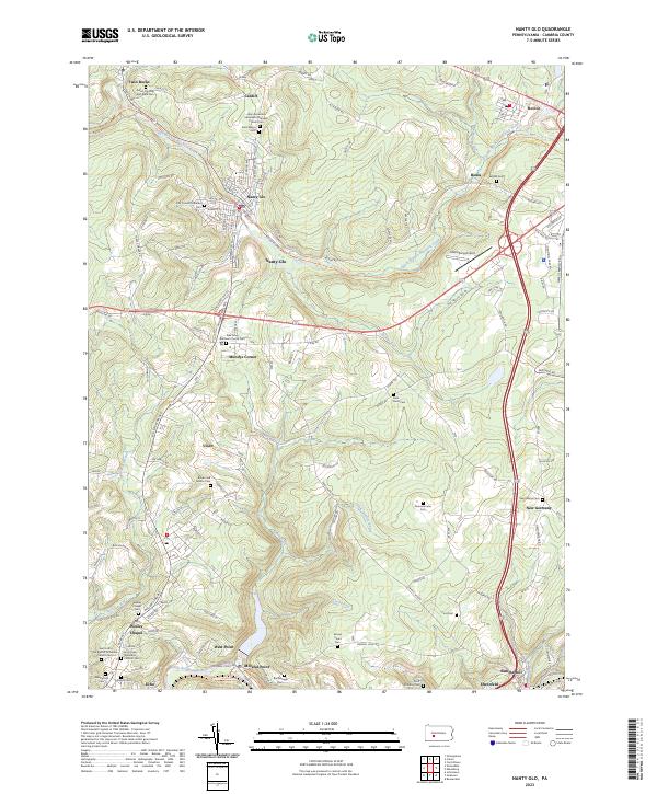
2023 Map of Barnesboro
USGS Topo · Published 2023About this map
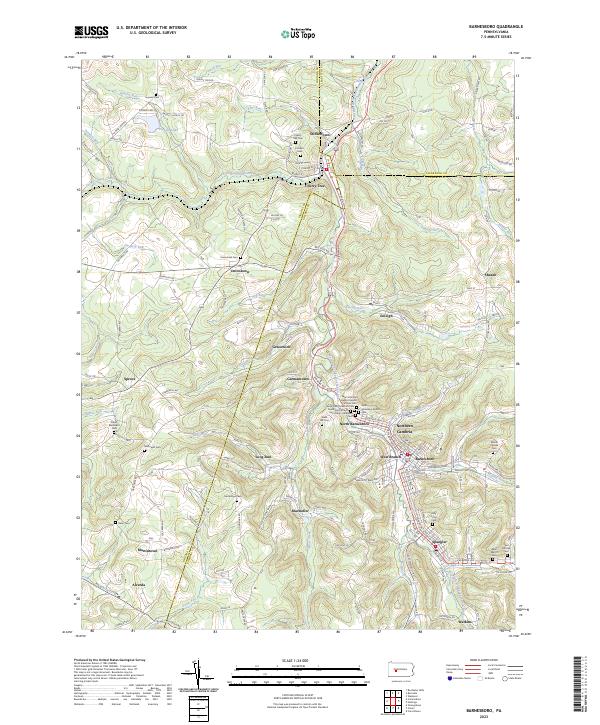
The West Branch Susquehanna River winds through this section of the Allegheny Plateau, where the historical footprint of mining and ethnic settlement is deeply etched into the landscape. Small communities like Marsteller, Emeigh, and Alverda are tightly clustered, reflecting the area's development around local industries. For genealogists, the map is remarkably dense with burial sites, including the Saint John the Baptist Roman Catholic Cem, Saint John's Ukrainian Cem, and Saint Stanislaus Kostka Cem, which point to the diverse immigrant heritage of the region's labor force.
Find a feature on this map
136 named features on this map. Tap any name to fly to it.
Don’t see what you’re looking for? This feature index may not catch every label — zoom into the map to look around manually.
Map Details
Editions of this 2023 Barnesboro Map
This is the sole edition of this map. No revisions or reprints were ever made.
Historical Maps of Uniontown Through Time
6 maps found