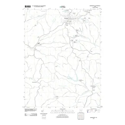
2010 Map of Barnesville
USGS Topo · Published 2010About this map
Barnesville serves as the primary hub of this 2010 landscape in western Belmont County, anchored by civic landmarks such as the Barnesville Post Office and the Belmont County Childrens Home. The terrain is deeply divided by the headwaters of Leatherwood Creek and the North Fork Captina Creek, a geography that dictated the placement of small agricultural settlements like Somerton, Boston, and Temperanceville.
Find a feature on this map
121 named features on this map. Tap any name to fly to it.
Don’t see what you’re looking for? This feature index may not catch every label — zoom into the map to look around manually.
Map Details
Editions of this 2010 Barnesville Map
This is the sole edition of this map. No revisions or reprints were ever made.
Other maps of this area

1903 · Flushing
USGS Topo · 1:62,500

1905 · Woodsfield
USGS Topo · 1:62,500

1905 · Flushing
USGS Topo · 1:62,500

1909 · Antrim
USGS Topo · 1:48,000

1909 · Summerfield
USGS Topo · 1:62,500

1911 · Antrim
USGS Topo · 1:62,500

1911 · Summerfield
USGS Topo · 1:62,500

1949 · Clarksburg
USGS Topo · 1:250,000

1951 · Canton
USGS Topo · 1:250,000

1953 · Canton
USGS Topo · 1:250,000