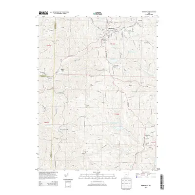
2013 Map of Barnesville
USGS Topo · Published 2013About this map
Barnesville serves as the primary hub in this corner of Belmont County, where established street grids like W Main St and E Main St contrast with the winding rural routes of the surrounding townships. The landscape is defined by the headwaters of several drainages, including Leatherwood Cr and Beaver Cr, which are punctuated by a series of engineered water bodies like Barnesville Reservoir Number Two and Barnesville Reservoir Number Three. These reservoirs reflect the mid-century infrastructure needs of the growing village and its neighboring hamlets.
Find a feature on this map
83 named features on this map. Tap any name to fly to it.
Don’t see what you’re looking for? This feature index may not catch every label — zoom into the map to look around manually.
Map Details
Editions of this 2013 Barnesville Map
This is the sole edition of this map. No revisions or reprints were ever made.
Other maps of this area

1903 · Flushing
USGS Topo · 1:62,500

1905 · Woodsfield
USGS Topo · 1:62,500

1905 · Flushing
USGS Topo · 1:62,500

1909 · Antrim
USGS Topo · 1:48,000

1909 · Summerfield
USGS Topo · 1:62,500

1911 · Antrim
USGS Topo · 1:62,500

1911 · Summerfield
USGS Topo · 1:62,500

1949 · Clarksburg
USGS Topo · 1:250,000

1951 · Canton
USGS Topo · 1:250,000

1953 · Canton
USGS Topo · 1:250,000