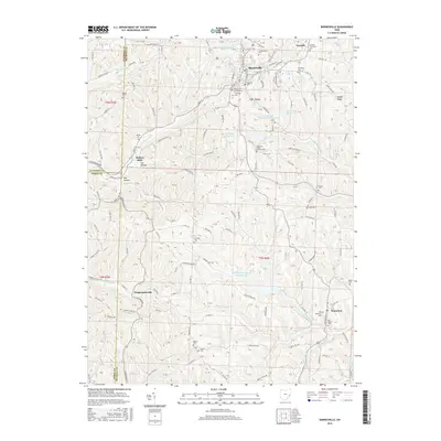
2016 Map of Barnesville
USGS Topo · Published 2016About this map
Barnesville serves as the primary hub in this eastern Ohio landscape, where the confluence of several local roads and the Railroad St corridor highlights the town's historical importance. The surrounding countryside is characterized by a high density of small rural burial grounds, such as the Chestnut Ridge Friends Cem and the Old Quaker Cem, which point to a deep-seated Quaker heritage in the region. These cemeteries, alongside others like Bethel Cem and Harmony Cem, offer valuable geographic anchors for genealogical research.
Find a feature on this map
182 named features on this map. Tap any name to fly to it.
Don’t see what you’re looking for? This feature index may not catch every label — zoom into the map to look around manually.
Map Details
Editions of this 2016 Barnesville Map
This is the sole edition of this map. No revisions or reprints were ever made.
Other maps of this area

1903 · Flushing
USGS Topo · 1:62,500

1905 · Woodsfield
USGS Topo · 1:62,500

1905 · Flushing
USGS Topo · 1:62,500

1909 · Antrim
USGS Topo · 1:48,000

1909 · Summerfield
USGS Topo · 1:62,500

1911 · Antrim
USGS Topo · 1:62,500

1911 · Summerfield
USGS Topo · 1:62,500

1949 · Clarksburg
USGS Topo · 1:250,000

1951 · Canton
USGS Topo · 1:250,000

1953 · Canton
USGS Topo · 1:250,000