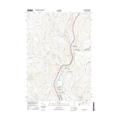
2015 Map of Barnet
USGS Topo · Published 2015About this map
The Connecticut River forms a primary natural boundary here, separating the town of Barnet in Vermont from Monroe in New Hampshire. This river corridor has historically served as a critical transportation artery, evidenced by the presence of Inwood Station and the cluster of settlements at East Barnet and McIndoes Falls. The landscape is punctuated by several prominent peaks, including Roy Mtn and Barnet Mtn, while the Stevens River and Sutton Brook feed into the main valley. Genealogists will find a high concentration of burial grounds throughout the quadrangle, such as Barnet Center Cem, Pleasant View Cem, and North Monroe Cem. The map also details the Roaring Brook Reservoir and the varied islands within the river channel, such as Gleason Island and Stevens Island.
Find a feature on this map
88 named features on this map. Tap any name to fly to it.
Don’t see what you’re looking for? This feature index may not catch every label — zoom into the map to look around manually.
Map Details
Editions of this 2015 Barnet Map
This is the sole edition of this map. No revisions or reprints were ever made.
Other maps of this area

1929 · Moosilauke
USGS Topo · 1:62,500

1931 · Littleton
USGS Topo · 1:62,500

1931 · Woodsville
USGS Topo · 1:48,000

1932 · Littleton
USGS Topo · 1:48,000

1932 · Moosilauke
USGS Topo · 1:62,500

1935 · Woodsville
USGS Topo · 1:62,500

1935 · Littleton
USGS Topo · 1:62,500

1938 · St. Johnsbury
USGS Topo · 1:48,000

1941 · Woodsville
USGS Topo · 1:62,500

1943 · St. Johnsbury
USGS Topo · 1:62,500