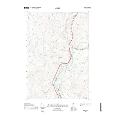
2018 Map of Barnet
USGS Topo · Published 2018About this map
The Connecticut River serves as the state line between Vermont and New Hampshire on this map, shaping the development of riverfront settlements like Barnet and McIndoe Falls. The convergence of several major waterways, including the Passumpsic River and the Stevens River, highlights the area’s reliance on river power and transport. Large islands such as Stevens Island, Gleason Island, and Nine Island punctuate the river’s path, while the surrounding hills—including Barnet Mtn, Roy Mtn, and Gardner Mtn—constrain the settlement patterns to the valleys and river terraces.
Find a feature on this map
97 named features on this map. Tap any name to fly to it.
Don’t see what you’re looking for? This feature index may not catch every label — zoom into the map to look around manually.
Map Details
Editions of this 2018 Barnet Map
This is the sole edition of this map. No revisions or reprints were ever made.
Other maps of this area

1929 · Moosilauke
USGS Topo · 1:62,500

1931 · Littleton
USGS Topo · 1:62,500

1931 · Woodsville
USGS Topo · 1:48,000

1932 · Littleton
USGS Topo · 1:48,000

1932 · Moosilauke
USGS Topo · 1:62,500

1935 · Woodsville
USGS Topo · 1:62,500

1935 · Littleton
USGS Topo · 1:62,500

1938 · St. Johnsbury
USGS Topo · 1:48,000

1941 · Woodsville
USGS Topo · 1:62,500

1943 · St. Johnsbury
USGS Topo · 1:62,500