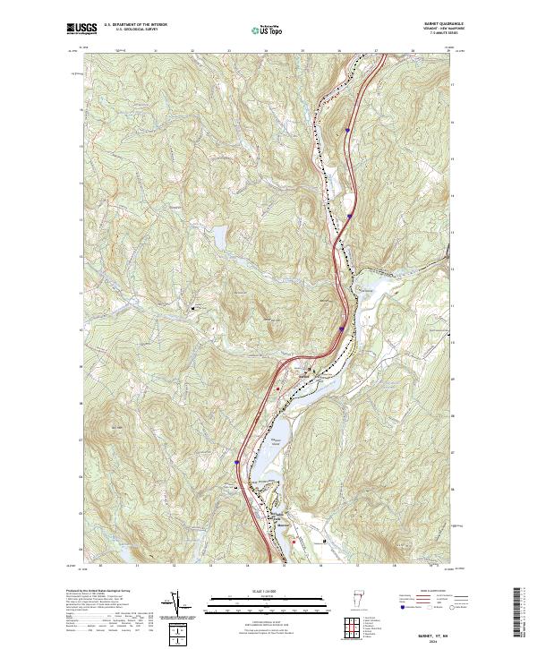
2024 Map of Barnet
USGS Topo · Published 2024About this map
The Connecticut River serves as the central artery and state boundary between Vermont and New Hampshire on this map, carving a path through the hills of Caledonia and Grafton counties. Along its banks, the settlements of Barnet and McIndoe Falls illustrate the historical reliance on water power and river transport in this region. The landscape is defined by significant elevations like Roy Mtn and Barnet Mtn, while the confluence of the Passumpsic River and the main channel creates a complex network of islands, including Gleason Island and Stevens Island.
Find a feature on this map
104 named features on this map. Tap any name to fly to it.
Don’t see what you’re looking for? This feature index may not catch every label — zoom into the map to look around manually.
Map Details
Editions of this 2024 Barnet Map
This is the sole edition of this map. No revisions or reprints were ever made.
Other maps of this area

1929 · Moosilauke
USGS Topo · 1:62,500

1931 · Littleton
USGS Topo · 1:62,500

1931 · Woodsville
USGS Topo · 1:48,000

1932 · Littleton
USGS Topo · 1:48,000

1932 · Moosilauke
USGS Topo · 1:62,500

1935 · Woodsville
USGS Topo · 1:62,500

1935 · Littleton
USGS Topo · 1:62,500

1938 · St. Johnsbury
USGS Topo · 1:48,000

1941 · Woodsville
USGS Topo · 1:62,500

1943 · St. Johnsbury
USGS Topo · 1:62,500