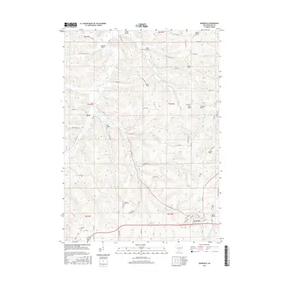
2016 Map of Barneveld
USGS Topo · Published 2016About this map
The village of Barneveld serves as the primary hub in this Iowa County landscape, where the headwaters of the B-B-Pecatonica River begin their southward journey. The terrain is defined by a series of deep hollows and prominent ridges, including Blue Ridge and Coulee Ridge, which dictate the winding paths of rural roads like Pikes Peak RD. Genealogists will find several burial sites scattered across the township, such as the Jennieton Baptist Cem and the White Church Cem near Jones Valley.
Find a feature on this map
83 named features on this map. Tap any name to fly to it.
Don’t see what you’re looking for? This feature index may not catch every label — zoom into the map to look around manually.
Map Details
Editions of this 2016 Barneveld Map
This is the sole edition of this map. No revisions or reprints were ever made.
Other maps of this area

1902 · Mineral Point
USGS Topo · 1:125,000

1905 · Richland Center
USGS Topo · 1:125,000

1920 · Blue Mounds
USGS Topo · 1:62,500

1922 · Blue Mounds
USGS Topo · 1:62,500

1923 · Blanchardville
USGS Topo · 1:62,500

1954 · Rockford
USGS Topo · 1:250,000

1955 · Rockford
USGS Topo · 1:250,000

1957 · Madison
USGS Topo · 1:250,000

1958 · Rockford
USGS Topo · 1:250,000

1958 · La Crosse
USGS Topo · 1:250,000