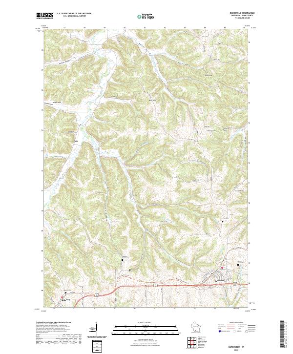
2022 Map of Barneveld
USGS Topo · Published 2022About this map
Barneveld and Ridgeway serve as the primary anchors of this southwestern Wisconsin landscape, situated along the corridor of the Military Ridge State Trl. The geography is defined by a dense network of coulees and hollows, including Knight Hollow and Amacher Hollow, which drain into several branches of the surrounding river systems. The transition from the high, flat surface of Blue Ridge down into the Jones Valley illustrates the complex driftless-area topography. Scattered across the rural landscape are numerous local landmarks such as Indian Castle and Pinnacle Bluff, which rise above the surrounding valleys. For genealogists, the map is particularly valuable for its documentation of historical burial sites, including the Jenneton Baptist Cem, Eastside Cem, and Bethel Cem, which reflect the early settlement patterns of Iowa County's rural communities.
Find a feature on this map
119 named features on this map. Tap any name to fly to it.
Don’t see what you’re looking for? This feature index may not catch every label — zoom into the map to look around manually.
Map Details
Editions of this 2022 Barneveld Map
This is the sole edition of this map. No revisions or reprints were ever made.
Other maps of this area

1902 · Mineral Point
USGS Topo · 1:125,000

1905 · Richland Center
USGS Topo · 1:125,000

1920 · Blue Mounds
USGS Topo · 1:62,500

1922 · Blue Mounds
USGS Topo · 1:62,500

1923 · Blanchardville
USGS Topo · 1:62,500

1954 · Rockford
USGS Topo · 1:250,000

1955 · Rockford
USGS Topo · 1:250,000

1957 · Madison
USGS Topo · 1:250,000

1958 · Rockford
USGS Topo · 1:250,000

1958 · La Crosse
USGS Topo · 1:250,000