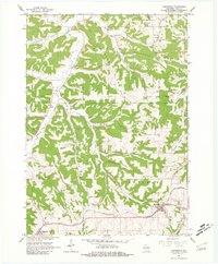
1962 Map of Barneveld
USGS Topo · Published 1981About this map
Chicago and North Western railroad tracks define the lower southern corridor of this Driftless Area landscape, connecting the primary settlements of Barneveld and Ridgeway. The map reveals a deeply dissected terrain of coulees and hollows, where family-named landmarks like Amacher Hollow and Knight Hollow suggest long-standing agricultural roots in the valleys. This 1962 field-checked survey shows a network of rural institutions, including the Hyde Ch and several burial grounds such as Jennieton Baptist Cem and White Church Cem, which serve the dispersed communities north of the rail line.
Find a feature on this map
33 named features on this map. Tap any name to fly to it.
Don’t see what you’re looking for? This feature index may not catch every label — zoom into the map to look around manually.
Map Details
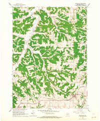
Editions of this 1962 Barneveld Map
2 editions found
Other maps of this area

1902 · Mineral Point
USGS Topo · 1:125,000

1905 · Richland Center
USGS Topo · 1:125,000

1920 · Blue Mounds
USGS Topo · 1:62,500

1922 · Blue Mounds
USGS Topo · 1:62,500

1923 · Blanchardville
USGS Topo · 1:62,500

1954 · Rockford
USGS Topo · 1:250,000

1955 · Rockford
USGS Topo · 1:250,000

1957 · Madison
USGS Topo · 1:250,000

1958 · Rockford
USGS Topo · 1:250,000

1958 · La Crosse
USGS Topo · 1:250,000