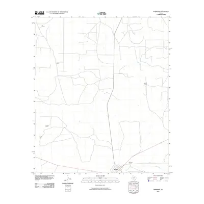
2010 Map of Barnhart
USGS Topo · Published 2010About this map
Barnhart serves as the primary hub in this Irion County landscape, situated where several regional routes converge in the southern reaches of the map. The settlement's infrastructure is anchored by the Rest Haven Cemetery located just to its northeast. The surrounding terrain is defined by dry watercourses and livestock infrastructure, notably Woods Draw and several named water-pumping points such as Park Windmill, Park Trap Windmill, and West Bluff Windmill. These features indicate the essential nature of water management for ranching in this arid Texas environment. To the south and east, Spring Creek winds across the plains, while the local road network, including McAfee Rd and Co Rd 131, provides the vital links between isolated ranch sites and the central community of Barnhart during the first decade of the 21st century.
Find a feature on this map
10 named features on this map. Tap any name to fly to it.
Don’t see what you’re looking for? This feature index may not catch every label — zoom into the map to look around manually.
Map Details
Editions of this 2010 Barnhart Map
This is the sole edition of this map. No revisions or reprints were ever made.
Other maps of this area

1920 · Big Lake
USGS Topo · 1:62,500

1920 · Barnhart
USGS Topo · 1:62,500

1921 · Ketchum Mountain
USGS Topo · 1:62,500

1922 · Big Lake
USGS Topo · 1:62,500

1922 · Barnhart
USGS Topo · 1:62,500

1923 · Ketchum Mountain
USGS Topo · 1:62,500

1954 · San Angelo
USGS Topo · 1:250,000

1958 · San Angelo
USGS Topo · 1:250,000

1965 · San Angelo
USGS Topo · 1:250,000

1970 · South Mustang Draw SE
USGS Topo · 1:24,000