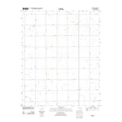
2012 Map of Barr
USGS Topo · Published 2012About this map
Barr and Cato anchor this agricultural landscape in Kingfisher County, where the section-line road grid organizes a rural community defined by its cemeteries and watercourses. Small settlements and rural homesteads are connected by a network of thoroughfares including W Lucien Rd and W Osborne Rd. The map reveals three significant local burial sites—Wildwood Cem, Cimarron Valley Cem, and Morrison Cem—which serve as vital markers for genealogical research in this part of Oklahoma. The terrain is notably etched by the winding path of the Cimarron River, which creates a natural irregularity across the otherwise geometric survey lines. This 2012 edition illustrates how traditional land divisions and family-named locations like S Stabe Rd persist even as modern infrastructure develops around these established centers.
Find a feature on this map
27 named features on this map. Tap any name to fly to it.
Don’t see what you’re looking for? This feature index may not catch every label — zoom into the map to look around manually.
Map Details
Editions of this 2012 Barr Map
This is the sole edition of this map. No revisions or reprints were ever made.
Other maps of this area

1893 · Hennessey
USGS Topo · 1:62,500

1893 · Ames
USGS Topo · 1:62,500

1955 · Enid
USGS Topo · 1:250,000

1955 · Woodward
USGS Topo · 1:250,000

1956 · Ames
USGS Topo · 1:62,500

1956 · Hennessey
USGS Topo · 1:62,500

1956 · Enid
USGS Topo · 1:62,500

1956 · Ringwood
USGS Topo · 1:62,500

1958 · Enid
USGS Topo · 1:250,000

1958 · Woodward
USGS Topo · 1:250,000