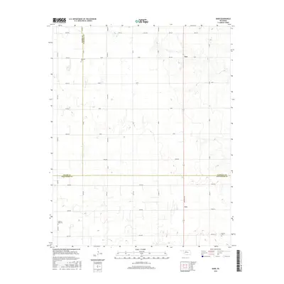
2016 Map of Barr
USGS Topo · Published 2016About this map
Barr and Cato serve as the primary landmarks in this rural landscape where Garfield, Major, and Kingfisher counties converge. The terrain is organized by a strict section-line grid of roads, such as N2740 Rd and E0540 Rd, typical of the Oklahoma prairie. This 2016 survey documents the enduring local geography through its dispersed burial grounds, including Wildwood Cem in the north and Morrison Cem near the eastern boundary. In the southwest corner, the Cimarron Valley Cem sits as a notable genealogical site near the intersection of N2740 Rd and E0610 Rd. The map also traces a network of named local thoroughfares such as Reed Rd, Logan Rd, and Ames Rd, illustrating the modern transportation framework used by the agricultural community in this part of the Oklahoma interior.
Find a feature on this map
38 named features on this map. Tap any name to fly to it.
Don’t see what you’re looking for? This feature index may not catch every label — zoom into the map to look around manually.
Map Details
Editions of this 2016 Barr Map
This is the sole edition of this map. No revisions or reprints were ever made.
Other maps of this area

1893 · Hennessey
USGS Topo · 1:62,500

1893 · Ames
USGS Topo · 1:62,500

1955 · Enid
USGS Topo · 1:250,000

1955 · Woodward
USGS Topo · 1:250,000

1956 · Ames
USGS Topo · 1:62,500

1956 · Hennessey
USGS Topo · 1:62,500

1956 · Enid
USGS Topo · 1:62,500

1956 · Ringwood
USGS Topo · 1:62,500

1958 · Enid
USGS Topo · 1:250,000

1958 · Woodward
USGS Topo · 1:250,000