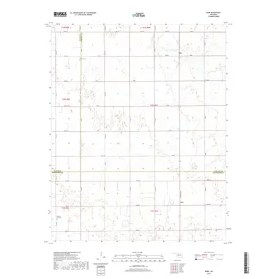
2018 Map of Barr
USGS Topo · Published 2018About this map
Barr and Cato serve as the primary landmarks in this rural landscape, situated at the intersection of Garfield, Major, and Kingfisher counties. This prairie terrain is defined by a rigid grid of section-line roads, including Ames Rd and Lucien Rd, which facilitate transport across the agricultural region. The map preserves the locations of several community burial grounds, such as Wildwood Cem near the northern border and Cimarron Valley Cem in the southwest corner. These sites, along with Morrison Cem, offer essential focal points for family history and genealogical research. The presence of numerous small wetlands and drainage patterns throughout the townships reveals the natural hydrology underlying the managed farmland and grazing tracts during the early twenty-first century.
Find a feature on this map
28 named features on this map. Tap any name to fly to it.
Don’t see what you’re looking for? This feature index may not catch every label — zoom into the map to look around manually.
Map Details
Editions of this 2018 Barr Map
This is the sole edition of this map. No revisions or reprints were ever made.
Other maps of this area

1893 · Hennessey
USGS Topo · 1:62,500

1893 · Ames
USGS Topo · 1:62,500

1955 · Enid
USGS Topo · 1:250,000

1955 · Woodward
USGS Topo · 1:250,000

1956 · Ames
USGS Topo · 1:62,500

1956 · Hennessey
USGS Topo · 1:62,500

1956 · Enid
USGS Topo · 1:62,500

1956 · Ringwood
USGS Topo · 1:62,500

1958 · Enid
USGS Topo · 1:250,000

1958 · Woodward
USGS Topo · 1:250,000