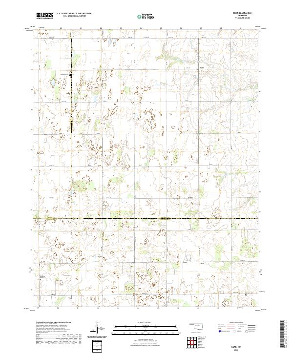
2022 Map of Barr
USGS Topo · Published 2022About this map
The community of Barr lies at the intersection of Reed Rd and a local north-south route in this 2022 survey, representing the quiet rural landscape of western Oklahoma. This map captures a significant meeting point of three counties, with the Major, Garfield, and Kingfisher county lines converging in the southwestern quadrant. The terrain is marked by the orderly section lines of the Public Land Survey System, which define the local road network including Ames Rd and Lucien Rd.
Find a feature on this map
26 named features on this map. Tap any name to fly to it.
Don’t see what you’re looking for? This feature index may not catch every label — zoom into the map to look around manually.
Map Details
Editions of this 2022 Barr Map
This is the sole edition of this map. No revisions or reprints were ever made.
Other maps of this area

1893 · Hennessey
USGS Topo · 1:62,500

1893 · Ames
USGS Topo · 1:62,500

1955 · Enid
USGS Topo · 1:250,000

1955 · Woodward
USGS Topo · 1:250,000

1956 · Ames
USGS Topo · 1:62,500

1956 · Hennessey
USGS Topo · 1:62,500

1956 · Enid
USGS Topo · 1:62,500

1956 · Ringwood
USGS Topo · 1:62,500

1958 · Enid
USGS Topo · 1:250,000

1958 · Woodward
USGS Topo · 1:250,000