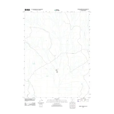
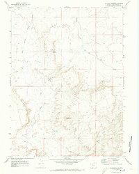
2012 Map of Barrel Springs SW
USGS Topo · Published 2012About this map
West Haystack Wash and East Haystack Wash dominate this arid Sweetwater County landscape, highlighting a topography defined by seasonal drainage patterns and water management. In a region where reliable water sources are scarce, the presence of localized catchments like Sand Branch Reservoir, Cloud Reservoir, and Blank Reservoir indicates the critical importance of ranching or resource management infrastructure. The network is supported by industrial or access routes such as BLM Road 4411 and BLM Road 4412, which provide the primary means of navigating this expansive high-desert terrain. Localized creek systems, including Sand Cr and W Br Willow Cr, trace the natural flow of the watershed, offering a detailed look at the hydrology of the Barrel Springs area before it reaches more significant basins.
Find a feature on this map
9 named features on this map. Tap any name to fly to it.
Don’t see what you’re looking for? This feature index may not catch every label — zoom into the map to look around manually.
Map Details
Editions of this 2012 Barrel Springs SW Map
This is the sole edition of this map. No revisions or reprints were ever made.
Other maps of this area

1954 · Rock Springs
USGS Topo · 1:250,000

1958 · Rock Springs
USGS Topo · 1:250,000

1962 · Rock Springs
USGS Topo · 1:250,000

1970 · Prehistoric Rim
USGS Topo · 1:24,000
1970 · Powder Mountain NE
USGS Topo · 1:24,000

1970 · Manuel Gap
USGS Topo · 1:24,000
1970 · Barrel Springs SW
USGS Topo · 1:24,000
1970 · Monument Valley
USGS Topo · 1:24,000

1970 · Fort La Clede NE
USGS Topo · 1:24,000
1970 · Salazar Butte
USGS Topo · 1:24,000