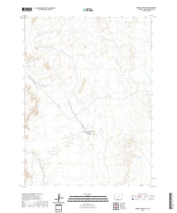
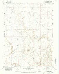
2021 Map of Barrel Springs SW
USGS Topo · Published 2021About this map
Hydrological management and desert drainage patterns define this landscape in Sweetwater County, documented here through a series of specialized catchments. Water storage is concentrated in naming-distinct sites like Sand Br Reservoir, Cloud Reservoir, and Blank Reservoir, reflecting the necessity of water preservation in this arid environment. The terrain is deeply marked by erosional features, specifically the convergence of East Haystack Wash, West Haystack Wash, and the main Haystack Wash. These dry streambeds, along with the W Br Willow Cr in the northeast, provide a clear record of natural runoff patterns across the high desert. Transport through the region is limited, anchored primarily by Blm Rd 4411, which connects these remote reservoir sites and the various sections of the Public Land Survey System.
Find a feature on this map
12 named features on this map. Tap any name to fly to it.
Don’t see what you’re looking for? This feature index may not catch every label — zoom into the map to look around manually.
Map Details
Editions of this 2021 Barrel Springs SW Map
This is the sole edition of this map. No revisions or reprints were ever made.
Other maps of this area

1954 · Rock Springs
USGS Topo · 1:250,000

1958 · Rock Springs
USGS Topo · 1:250,000

1962 · Rock Springs
USGS Topo · 1:250,000

1970 · Prehistoric Rim
USGS Topo · 1:24,000
1970 · Powder Mountain NE
USGS Topo · 1:24,000

1970 · Manuel Gap
USGS Topo · 1:24,000
1970 · Barrel Springs SW
USGS Topo · 1:24,000
1970 · Monument Valley
USGS Topo · 1:24,000

1970 · Fort La Clede NE
USGS Topo · 1:24,000
1970 · Salazar Butte
USGS Topo · 1:24,000