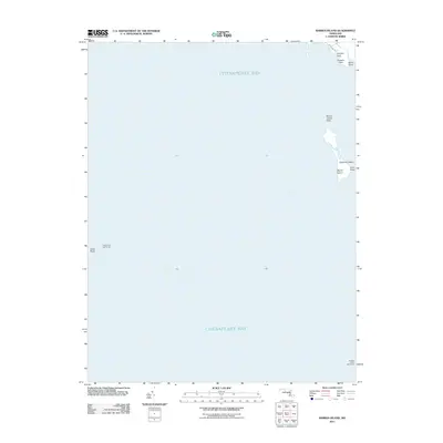
2011 Map of Barren Island
USGS Topo · Published 2011About this map
Cedar Point Lighthouse and Hooper Island Lighthouse stand as critical maritime sentinels across the expansive waters of the Chesapeake Bay. This 2011 survey illustrates the precarious nature of the Maryland shoreline, where landforms like Barren Island and the smaller Opossum Island are defined by shifting sands and encroaching tides. The map details the coastal geography of Saint Mary's County, tracing the contours of Houston Point and Cedar Point.
Find a feature on this map
12 named features on this map. Tap any name to fly to it.
Don’t see what you’re looking for? This feature index may not catch every label — zoom into the map to look around manually.
Map Details
Editions of this 2011 Barren Island Map
This is the sole edition of this map. No revisions or reprints were ever made.
Other maps of this area

1892 · Drum Point
USGS Topo · 1:62,500

1894 · Point Lookout
USGS Topo · 1:62,500

1898 · St. Marys
USGS Topo · 1:125,000

1901 · Drum Point
USGS Topo · 1:62,500

1903 · Bloodsworth Island
USGS Topo · 1:62,500

1905 · Crapo
USGS Topo · 1:62,500

1905 · Drum Point
USGS Topo · 1:62,500

1906 · St. Marys
USGS Topo · 1:125,000

1912 · Point Lookout
USGS Topo · 1:62,500

1937 · Point Lookout
USGS Topo · 1:62,500