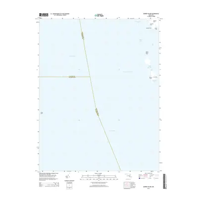
2014 Map of Barren Island
USGS Topo · Published 2014About this map
Chesapeake Bay dominates this coastal survey, where the convergence of three Maryland counties—Dorchester, Calvert, and St. Mary's—occurs in open water. The fragmented shoreline of Barren Island is a focal point of the eastern edge, showing the complex interaction of land and sea through features like Barren Island Point and the narrow passage of the Barren Island Thorofare.
Find a feature on this map
19 named features on this map. Tap any name to fly to it.
Don’t see what you’re looking for? This feature index may not catch every label — zoom into the map to look around manually.
Map Details
Editions of this 2014 Barren Island Map
This is the sole edition of this map. No revisions or reprints were ever made.
Other maps of this area

1892 · Drum Point
USGS Topo · 1:62,500

1894 · Point Lookout
USGS Topo · 1:62,500

1898 · St. Marys
USGS Topo · 1:125,000

1901 · Drum Point
USGS Topo · 1:62,500

1903 · Bloodsworth Island
USGS Topo · 1:62,500

1905 · Crapo
USGS Topo · 1:62,500

1905 · Drum Point
USGS Topo · 1:62,500

1906 · St. Marys
USGS Topo · 1:125,000

1912 · Point Lookout
USGS Topo · 1:62,500

1937 · Point Lookout
USGS Topo · 1:62,500