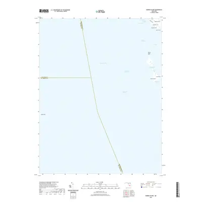
2019 Map of Barren Island
USGS Topo · Published 2019About this map
Barren Island sits at the center of this maritime survey, marking a critical transition point where Tar Bay meets the open expanse of the Chesapeake Bay. The map documents the intricate coastline of the eastern shore, including family-named landmarks like Meekins Neck and Houston Point. This area is defined by its volatile relationship between land and water, shown through the narrow Barren Island Thorofare and the shifting marshes of The Big Broads.
Find a feature on this map
23 named features on this map. Tap any name to fly to it.
Don’t see what you’re looking for? This feature index may not catch every label — zoom into the map to look around manually.
Map Details
Editions of this 2019 Barren Island Map
This is the sole edition of this map. No revisions or reprints were ever made.
Other maps of this area

1892 · Drum Point
USGS Topo · 1:62,500

1894 · Point Lookout
USGS Topo · 1:62,500

1898 · St. Marys
USGS Topo · 1:125,000

1901 · Drum Point
USGS Topo · 1:62,500

1903 · Bloodsworth Island
USGS Topo · 1:62,500

1905 · Crapo
USGS Topo · 1:62,500

1905 · Drum Point
USGS Topo · 1:62,500

1906 · St. Marys
USGS Topo · 1:125,000

1912 · Point Lookout
USGS Topo · 1:62,500

1937 · Point Lookout
USGS Topo · 1:62,500