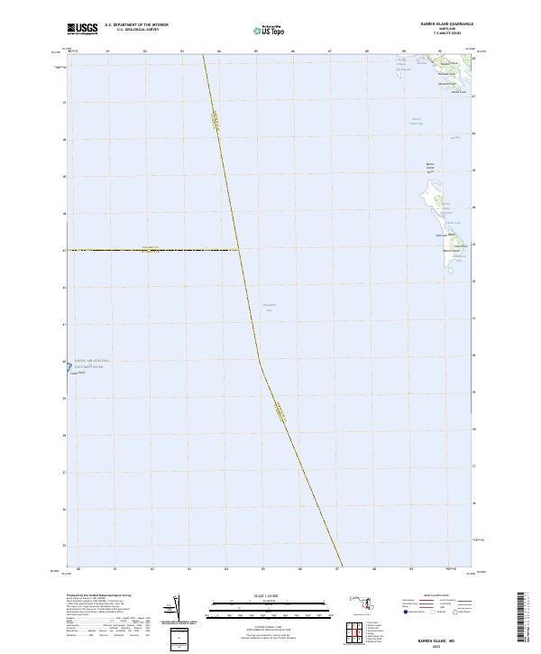
2023 Map of Barren Island
USGS Topo · Published 2023About this map
Barren Island and its surrounding archipelago dominate this maritime perspective of the Chesapeake Bay, situated at the intersection of Dorchester, Calvert, and St. Mary's counties. The geography is characterized by an intricate network of tidal wetlands and inlets, including The Big Broads, The Marshes, and Long Marshes near Meekins Neck. The map illustrates the fragile, low-lying nature of this shoreline, where narrow passages like Barren Island Thorofare and Barren Island Gap separate landmasses. Only one primary road, Bay View DR, is identified on the mainland portion, highlighting the area's isolation. Coastal landmarks such as Houston Point, Cove Point, and Cedar Point serve as essential navigation markers for this stretch of the bay, while sheltered waters like Tar Bay and Great Cove define the eastern edge of the islands.
Find a feature on this map
22 named features on this map. Tap any name to fly to it.
Don’t see what you’re looking for? This feature index may not catch every label — zoom into the map to look around manually.
Map Details
Editions of this 2023 Barren Island Map
This is the sole edition of this map. No revisions or reprints were ever made.
Other maps of this area

1892 · Drum Point
USGS Topo · 1:62,500

1894 · Point Lookout
USGS Topo · 1:62,500

1898 · St. Marys
USGS Topo · 1:125,000

1901 · Drum Point
USGS Topo · 1:62,500

1903 · Bloodsworth Island
USGS Topo · 1:62,500

1905 · Crapo
USGS Topo · 1:62,500

1905 · Drum Point
USGS Topo · 1:62,500

1906 · St. Marys
USGS Topo · 1:125,000

1912 · Point Lookout
USGS Topo · 1:62,500

1937 · Point Lookout
USGS Topo · 1:62,500