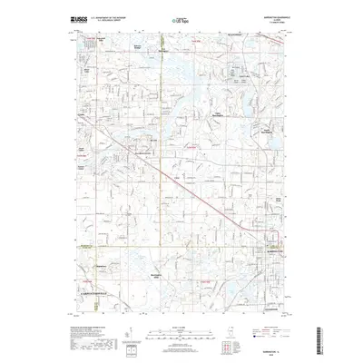
2018 Map of Barrington
USGS Topo · Published 2018About this map
The Fox River snakes through the western half of this suburban Chicago landscape, anchoring a series of riverside communities including Cary, Fox River Grove, and Port Barrington. The area is defined by its complex hydrology, where glacial remnants have left a dense concentration of lakes and wetlands such as Cotton Creek Marsh, Grassy Lake, and Silver Lake. The map reveals the intricate residential development of the late 2010s, with winding subdivision roads surrounding older landmarks like the Ski Hill and several local cemeteries including Evergreen Cem and Windridge Cem.
Find a feature on this map
93 named features on this map. Tap any name to fly to it.
Don’t see what you’re looking for? This feature index may not catch every label — zoom into the map to look around manually.
Map Details
Editions of this 2018 Barrington Map
This is the sole edition of this map. No revisions or reprints were ever made.
Other maps of this area

1920 · Grays Lake
USGS Topo · 1:62,500

1923 · Grays Lake
USGS Topo · 1:62,500

1923 · Barrington
USGS Topo · 1:62,500

1925 · Elgin
USGS Topo · 1:62,500

1926 · Mc Henry
USGS Topo · 1:62,500

1935 · Barrington
USGS Topo · 1:62,500

1940 · Elgin
USGS Topo · 1:62,500

1944 · McHenry
USGS Topo · 1:62,500
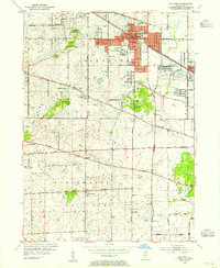
1953 · Palatine
USGS Topo · 1:24,000

1954 · Rockford
USGS Topo · 1:250,000